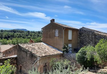
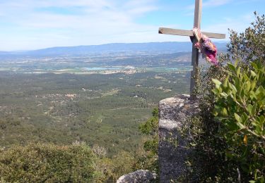
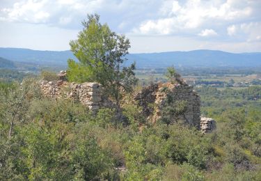
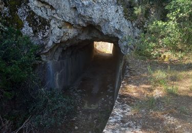
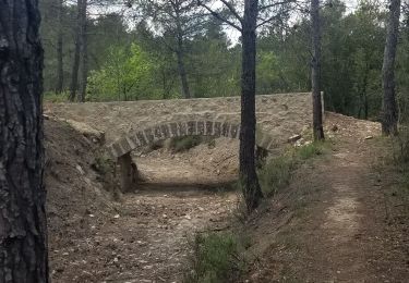
Trail Running Jouques - Boucle Jouques Vautubière2 - Photo
 bryss
bryss

User

© OpenStreetMap contributors
Length
Length
16.6 km
Max alt
Max alt
656 m
Uphill gradient
Uphill gradient
464 m
Km-Effort
Km-Effort  
23 km
Min alt
Min alt
261 m
Downhill gradient
Downhill gradient
472 m
Boucle
Boucle
Yes
Creation date :
2014-12-10 00:00:00.0
Updated on :
2014-12-10 00:00:00.0

(0 Reviews)

Running
Running
--
Difficulty : Medium

Scan this QR Code to open this trail in the SityTrail application

FREE GPS app for hiking

Logo SityTrail SityTrail

IGN / Geographical institutes

Download SityTrail from the App Store Download SityTrail from Google Play

Logo SityTrail SityTrail World

The world is yours!

Download SityTrail from the App Store Download SityTrail from Google Play Download SityTrail on Huawei AppGallery

About

Trail Running of 16.6 km to be discovered at Provence-Alpes-Côte d'Azur, Bouches-du-Rhône, Jouques. This trail is proposed by bryss.

Elevation profile

Positioning

Country:
France
Region :
Provence-Alpes-Côte d'Azur
Department/Province :
Bouches-du-Rhône
Municipality :
Jouques
Location:
Unknown
Start:(UTM)
712552 ; 4835000 (31T) N.

Trails nearby

Trail On foot Jouques - Chapelle Notre-Dame-de-Consolation - Photo
On foot
GUIDE+

On foot

Easy
Jouques, Provence-Alpes-Côte d'Azur, Bouches-du-Rhône, France
5.1 km | 7.4 km-effort
1h 40min
No
Trail Walking Jouques - Jouques Montagne de Vautubière 24-05-2020 - Photo
Walking
GUIDE
fredetpascale

Walking

Medium
(1)
Jouques, Provence-Alpes-Côte d'Azur, Bouches-du-Rhône, France
6.6 km | 10.5 km-effort
2h 3min
Yes
Trail Walking Peyrolles-en-Provence - 2024-03-29_17h55m53_Le Concors - Peyrolles- Jouques GR2C (1) - Photo
Walking
inuit

Walking

Difficult
(1)
Peyrolles-en-Provence, Provence-Alpes-Côte d'Azur, Bouches-du-Rhône, France
12.2 km | 18.7 km-effort
4h 14min
No
Trail Walking Peyrolles-en-Provence - la trempasse - Photo
Walking
ARPF1

Walking

Medium
Peyrolles-en-Provence, Provence-Alpes-Côte d'Azur, Bouches-du-Rhône, France
10.4 km | 16.3 km-effort
3h 49min
Yes
Trail Walking Jouques - Chapelle Notre Dame de Consolation  - Photo
Walking
Dadou 1

Walking

Medium
Jouques, Provence-Alpes-Côte d'Azur, Bouches-du-Rhône, France
9.7 km | 13 km-effort
3h 6min
Yes
Trail Walking Peyrolles-en-Provence - GB tour du  lac de Peyrolles  - Photo
Walking
Ghislaine Blanchet

Walking

Easy
(1)
Peyrolles-en-Provence, Provence-Alpes-Côte d'Azur, Bouches-du-Rhône, France
3.8 km | 4.2 km-effort
1h 23min
No
Trail Walking Peyrolles-en-Provence - Ancien canal du Verdon 1.5.22 - Photo
Walking
GUIDE
fredetpascale

Walking

Easy
Peyrolles-en-Provence, Provence-Alpes-Côte d'Azur, Bouches-du-Rhône, France
11.5 km | 14.9 km-effort
3h 40min
Yes
Trail Walking Peyrolles-en-Provence - loubatas-Camp Chinois-retour par les vallons - Photo
Walking
Berpav

Walking

Very difficult
(2)
Peyrolles-en-Provence, Provence-Alpes-Côte d'Azur, Bouches-du-Rhône, France
15.3 km | 20 km-effort
3h 23min
Yes
Trail Walking Jouques - Montage de Vautubière. - Photo
Walking
GUIDE
fredetpascale

Walking

Medium
Jouques, Provence-Alpes-Côte d'Azur, Bouches-du-Rhône, France
4.5 km | 7.7 km-effort
1h 45min
Yes


Close
My subscriptions