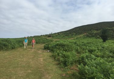
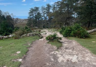
Trail On foot Urrugne - SityTrail - urrugne  le lac de Xoldokognagna  fait - Photo

SityTrail - urrugne le lac de Xoldokognagna fait

 marmotte65
marmotte65

User GUIDE

© OpenStreetMap contributors
Length
Length
10 km
Max alt
Max alt
530 m
Uphill gradient
Uphill gradient
463 m
Km-Effort
Km-Effort  
16.2 km
Min alt
Min alt
93 m
Downhill gradient
Downhill gradient
459 m
Boucle
Boucle
Yes
Creation date :
2019-12-30 09:34:21.775
Updated on :
2019-12-30 09:39:45.894

(0 Reviews)

On foot
On foot
--
Difficulty : Easy

Scan this QR Code to open this trail in the SityTrail application

FREE GPS app for hiking

Logo SityTrail SityTrail

IGN / Geographical institutes

Download SityTrail from the App Store Download SityTrail from Google Play

Logo SityTrail SityTrail World

The world is yours!

Download SityTrail from the App Store Download SityTrail from Google Play Download SityTrail on Huawei AppGallery

About

Trail On foot of 10 km to be discovered at New Aquitaine, Pyrénées-Atlantiques, Urrugne. This trail is proposed by marmotte65.

Description

superbe balade au pays Basque, pas de difficulté.
attention seulement , à un changement de direction 200 m après le barrage du lac prendre un sentier à gauche avec un panneau Biriatou il est peu visible (surveillez votre GPS
Si vous n'avez pas peur de charger le sac à dos , la dernière venta d'Ibardin vous ouvre ses portes

Elevation profile

Positioning

Country:
France
Region :
New Aquitaine
Department/Province :
Pyrénées-Atlantiques
Municipality :
Urrugne
Location:
Unknown
Start:(UTM)
604582 ; 4798844 (30T) N.

Trails nearby

Trail Walking Biriatou - Biriatou et lac Poiriers - Photo
Walking
RVMASSON

Walking

Medium
(1)
Biriatou, New Aquitaine, Pyrénées-Atlantiques, France
10.1 km | 17.1 km-effort
3h 45min
Yes
Trail Walking Urrugne - Montagne de Ciboure - Trabenea - Photo
Walking
tracegps

Walking

Medium
(2)
Urrugne, New Aquitaine, Pyrénées-Atlantiques, France
8.6 km | 13.3 km-effort
2h 30min
Yes
Trail Walking Urrugne - rhune - Photo
Walking
phil331

Walking

Medium
(1)
Urrugne, New Aquitaine, Pyrénées-Atlantiques, France
11.9 km | 24 km-effort
4h 43min
Yes
Trail Mountain bike Urrugne - 64-Olhette-20110417 - Photo
Mountain bike
Gus64

Mountain bike

Difficult
(2)
Urrugne, New Aquitaine, Pyrénées-Atlantiques, France
33 km | 49 km-effort
3h 30min
Yes
Trail Walking Ascain - la rhune depuis olhette - Photo
Walking
jcaudron

Walking

Medium
(2)
Ascain, New Aquitaine, Pyrénées-Atlantiques, France
9.8 km | 20 km-effort
Unknown
Yes
Trail Walking Irun - cascade dEnbido- Aitzondo mines et ravin de Meazuri 2024/11/12 - Photo
Walking
DECHAMPD

Walking

Difficult
Irun, Autonomous Community of the Basque Country, Gipuzkoa, Spain
11.6 km | 17.2 km-effort
3h 54min
Yes
Trail Walking Irun - Ibarla - Cascade d'Aitzondo - Ermitage san Martzial 2024 01 21 - Photo
Walking
DECHAMPD

Walking

Very difficult
Irun, Autonomous Community of the Basque Country, Gipuzkoa, Spain
12.1 km | 19.7 km-effort
4h 28min
Yes
Trail Walking Urrugne - La Rhune en boucle - Photo
Walking
jaja64

Walking

Difficult
Urrugne, New Aquitaine, Pyrénées-Atlantiques, France
12.6 km | 24 km-effort
5h 29min
Yes
Trail Walking Urrugne - Sentier des mulets  - Photo
Walking
RayFab

Walking

Medium
Urrugne, New Aquitaine, Pyrénées-Atlantiques, France
9 km | 14 km-effort
2h 40min
Yes


Close
My subscriptions