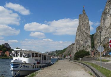
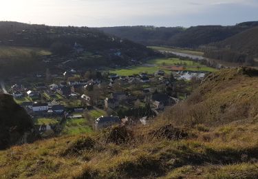
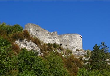
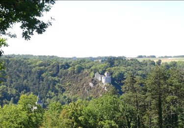
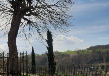
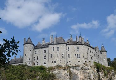
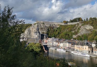
Trail Walking Dinant - Anseremme et geo-pedologique de Freyr retour Lesse 13_4 - Photo

Anseremme et geo-pedologique de Freyr retour Lesse 13_4

© OpenStreetMap contributors
Length
Length
13.4 km
Max alt
Max alt
233 m
Uphill gradient
Uphill gradient
265 m
Km-Effort
Km-Effort  
16.9 km
Min alt
Min alt
90 m
Downhill gradient
Downhill gradient
266 m
Boucle
Boucle
Yes
Creation date :
2014-12-10 00:00:00.0
Updated on :
2014-12-10 00:00:00.0

(0 Reviews)

Walking
Walking
3h27
Difficulty : Difficult

Scan this QR Code to open this trail in the SityTrail application

FREE GPS app for hiking

Logo SityTrail SityTrail

IGN / Geographical institutes

Download SityTrail from the App Store Download SityTrail from Google Play

Logo SityTrail SityTrail World

The world is yours!

Download SityTrail from the App Store Download SityTrail from Google Play Download SityTrail on Huawei AppGallery

About

Trail Walking of 13.4 km to be discovered at Wallonia, Namur, Dinant. This trail is proposed by pjjrevrard.

Elevation profile

Points of interest

Point of interest Dinant - Synclinal de Freyr - Photo
pjjrevrard
Point of interest Dinant - Les fissures Georget - Photo
pjjrevrard
Point of interest Dinant - le club alpin belge - Photo
pjjrevrard
Point of interest Dinant - Pelouse calcicole - Photo
pjjrevrard
Point of interest Dinant - humus en milieu forestier - Photo
pjjrevrard
Point of interest Dinant - Ravin des Amoureux - Photo
pjjrevrard
Point of interest Dinant - Limon de pente - Photo
pjjrevrard
Point of interest Dinant - Doline - Photo
pjjrevrard
DINANT 
Point of interest Dinant - Tête du Colebi - Photo
pjjrevrard
Point of interest Dinant - La zone des cuves - Photo
pjjrevrard
Point of interest Dinant - érosion régressive - Photo
pjjrevrard
Point of interest Dinant - ruissellement concentré - Photo
pjjrevrard
Point of interest Dinant - Perte de Falmignoul - Photo
pjjrevrard

Positioning

Country:
Belgium
Region :
Wallonia
Department/Province :
Namur
Municipality :
Dinant
Location:
Anseremme
Start:(UTM)
635996 ; 5566881 (31U) N.

Trails nearby

Trail Walking Dinant - RB-Na-24-Entre Lesse et Meuse - Photo
Walking
PRO

Walking

Very difficult
(14)
Dinant, Wallonia, Namur, Belgium
19.3 km | 26 km-effort
5h 57min
Yes
Trail Walking Houyet - GG-NA-20_Gendron-Celles - Dinant - Photo
Walking
PRO

Walking

Very difficult
(6)
Houyet, Wallonia, Namur, Belgium
23 km | 30 km-effort
6h 27min
No
Trail Walking Dinant - Balade à Dinant - La Réserve Naturelle de Moniat - Photo
Walking
GUIDE
Desrumaux

Walking

Very easy
(1)
Dinant, Wallonia, Namur, Belgium
8.4 km | 10.9 km-effort
3h 54min
Yes
Trail Walking Dinant - D'Anseremme à Dinant - Photo
Walking
GUIDE
Desrumaux

Walking

Easy
(3)
Dinant, Wallonia, Namur, Belgium
8.3 km | 11.8 km-effort
2h 34min
Yes
Trail Walking Dinant - Balade à Bouvignes - Photo
Walking
GUIDE
Desrumaux

Walking

Easy
(3)
Dinant, Wallonia, Namur, Belgium
4.8 km | 7.2 km-effort
1h 34min
Yes
Trail Walking Dinant - Balade en Réserve Naturelle de Devant Bouvignes - Photo
Walking
GUIDE
Desrumaux

Walking

Very easy
(3)
Dinant, Wallonia, Namur, Belgium
4.9 km | 6.9 km-effort
1h 32min
Yes
Trail Walking Dinant - Dinant: autour de la Citadelle.  - Photo
Walking
godi

Walking

Easy
(4)
Dinant, Wallonia, Namur, Belgium
5.7 km | 7.5 km-effort
1h 40min
Yes
Trail Walking Dinant - RB-Na-24-racc-Entre Lesse et Meuse - Photo
Walking
PRO

Walking

Very difficult
(4)
Dinant, Wallonia, Namur, Belgium
18.5 km | 24 km-effort
5h 29min
Yes
Trail Walking Dinant - DINANT ... Montagne de la Croix et l’ île d'Amour. - Photo
Walking
GerardBouche

Walking

Medium
(1)
Dinant, Wallonia, Namur, Belgium
11.5 km | 15.5 km-effort
3h 13min
Yes


Close
My subscriptions