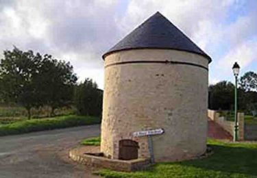
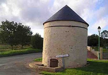
30 km | 36 km-effort
Fresnay Sur Sarthe
neitag61
User
Length
20 km
Max alt
162 m
Uphill gradient
235 m
Km-Effort
23 km
Min alt
73 m
Downhill gradient
235 m
Boucle
Yes
Creation date :
2019-12-29 11:40:11.906
Updated on :
2020-01-02 12:34:25.473
4h00
Difficulty : Difficult
FREE GPS app for hiking
About
Trail Walking of 20 km to be discovered at Pays de la Loire, Sarthe, Fresnay-sur-Sarthe. This trail is proposed by neitag61.
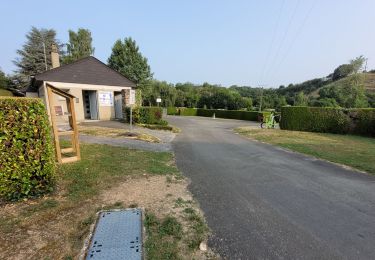
Positioning
Country:
France
Region :
Pays de la Loire
Department/Province :
Sarthe
Municipality :
Fresnay-sur-Sarthe
Location:
Fresnay-sur-Sarthe
Start:(Dec)
Start:(UTM)
278871 ; 5351895 (31U) N.
Comments
Trails nearby
3 = Fresnay sur Sarthe - St Léonard des bois
Walking
Easy
Fresnay-sur-Sarthe,
Pays de la Loire,
Sarthe,
France
5h 5min
No
Fresnay sur Sarthe
Walking
Difficult
Fresnay-sur-Sarthe,
Pays de la Loire,
Sarthe,
France
23 km | 27 km-effort
4h 29min
Yes
La Balade - Saint-Victeur
Mountain bike
Easy
Saint-Victeur,
Pays de la Loire,
Sarthe,
France
4.9 km | 5.8 km-effort
30min
Yes
La Balade - Saint-Victeur
Walking
Easy
(1)
Saint-Victeur,
Pays de la Loire,
Sarthe,
France
4.9 km | 5.8 km-effort
1h 15min
Yes
Espace VTT FFC des Alpes Mancelles- Circuit n° 10 - Vaux
Mountain bike
Medium
Fresnay-sur-Sarthe,
Pays de la Loire,
Sarthe,
France
29 km | 34 km-effort
2h 30min
Yes
FR Fresnay sur Sarthe 7.4 km RS 12-03-2021
Nordic walking
Very easy
Fresnay-sur-Sarthe,
Pays de la Loire,
Sarthe,
France
7.6 km | 9 km-effort
1h 59min
Yes
au détour d'une petite cité de caractère
On foot
Medium
Fresnay-sur-Sarthe,
Pays de la Loire,
Sarthe,
France
19.3 km | 22 km-effort
5h 0min
Yes
Alpes Mancelles VTTAE
Cycle
Medium
Sougé-le-Ganelon,
Pays de la Loire,
Sarthe,
France
48 km | 61 km-effort
3h 55min
Yes
La Sarthe-02-Fresnay - Beaumont
Walking
Easy
Fresnay-sur-Sarthe,
Pays de la Loire,
Sarthe,
France
18.7 km | 19.8 km-effort
4h 25min
No