


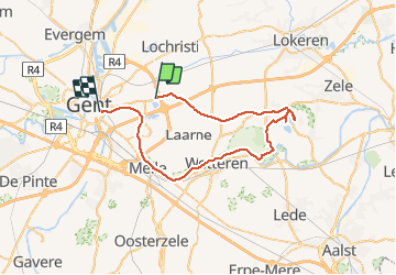

58 km | 62 km-effort

User


FREE GPS app for hiking
 SityTrail
IGN / Geographical institutes
SityTrail World
The world is yours!
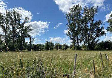
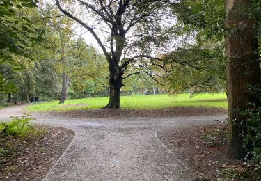
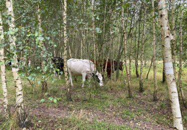
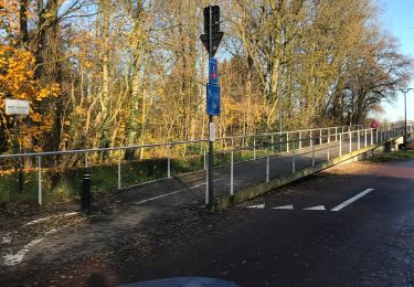
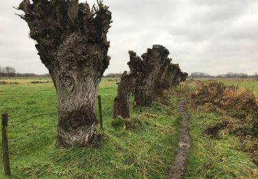
Trail Electric bike of 43 km to be discovered at Flanders, East Flanders, Destelbergen. This trail is proposed by bometdehamer.
Mooi fietstochtje, vertrokken vanuit Gent, maar had SityTrail vergeten activeren. Pas gedaan in Destelbergen... En: ik race niet, ik kijk rond.


Electric bike
Electric bike
Walking
Walking
Walking
Hybrid bike
Walking

Walking
Walking