17 km | 26 km-effort
Montbrun
belhache
User
Length
9.3 km
Max alt
203 m
Uphill gradient
173 m
Km-Effort
11.6 km
Min alt
105 m
Downhill gradient
175 m
Boucle
Yes
Creation date :
2019-12-26 07:34:30.979
Updated on :
2019-12-26 11:08:01.616
2h21
Difficulty : Very easy
FREE GPS app for hiking
About
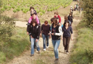
Trail Walking of 9.3 km to be discovered at Occitania, Aude, Montbrun-des-Corbières. This trail is proposed by belhache.
Description
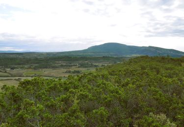
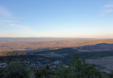
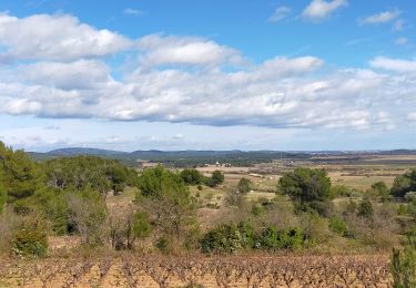
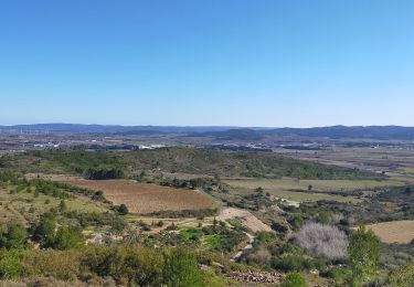
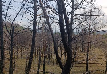
sympath sur les crêtes beau point de vue
Positioning
Country:
France
Region :
Occitania
Department/Province :
Aude
Municipality :
Montbrun-des-Corbières
Location:
Unknown
Start:(Dec)
Start:(UTM)
474341 ; 4782742 (31T) N.
Comments
Trails nearby
Sur les pas de Roland - Signal d'Alaric - La Caune
Walking
Very difficult
Moux,
Occitania,
Aude,
France
5h 25min
Yes
MONTBRUN DES CORBIERES rocher du renard
Walking
Easy
Montbrun-des-Corbières,
Occitania,
Aude,
France
7.4 km | 9.3 km-effort
1h 30min
Yes
ESCALES - La tour Romane
Walking
Very easy
(1)
Escales,
Occitania,
Aude,
France
4.2 km | 5.6 km-effort
1h 5min
Yes
FONCOUVERTE - variante au tracé balisé
Walking
Easy
(1)
Fontcouverte,
Occitania,
Aude,
France
7.8 km | 10 km-effort
2h 6min
Yes
CONILHAC Les Eoliennes
Walking
Very easy
(1)
Conilhac-Corbières,
Occitania,
Aude,
France
7.4 km | 9.5 km-effort
1h 27min
Yes
CONILHAC - lausines
Walking
Very easy
Conilhac-Corbières,
Occitania,
Aude,
France
4.8 km | 6.6 km-effort
1h 31min
Yes
En Corbières - Le Bosquet - Castelnau d'Aude
Walking
Medium
Castelnau-d'Aude,
Occitania,
Aude,
France
4.8 km | 5.8 km-effort
2h 30min
Yes
Défi de l'Alaric 2012 - Fontcouverte
Running
Difficult
Fontcouverte,
Occitania,
Aude,
France
18.1 km | 26 km-effort
2h 30min
Yes
Variante au circuit officiel. Itinéraire modifié vers les éoliennes intéressant. Merci.