


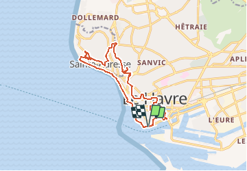

14.2 km | 17 km-effort


User


FREE GPS app for hiking
 SityTrail
IGN / Geographical institutes
SityTrail World
The world is yours!
Trail On foot of 14.2 km to be discovered at Normandy, Seine-Maritime, Le Havre. This trail is proposed by MOIBRIGGE.
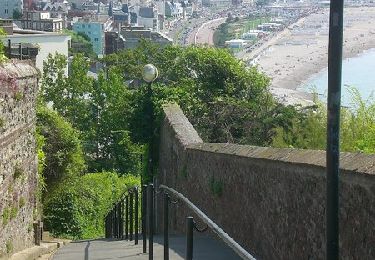
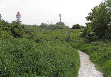
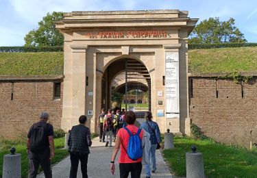
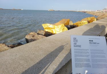
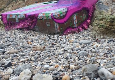
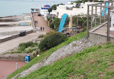
Découverte de la ville du Havre, son port, sa plage et son "nice havrais". Départ du parking du quai des Abeilles, Chaussée John Kennedy.
Walking
On foot

Walking

On foot
Walking
Walking
Nordic walking
Walking
Walking