


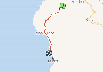

16.1 km | 27 km-effort


User


FREE GPS app for hiking
 SityTrail
IGN / Geographical institutes
SityTrail World
The world is yours!
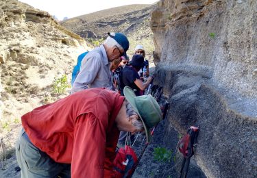
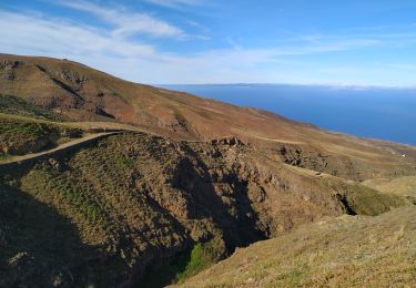
Trail Walking of 22 km to be discovered at Unknown, Porto Novo. This trail is proposed by yvesconnes.

Walking
Walking
Walking