


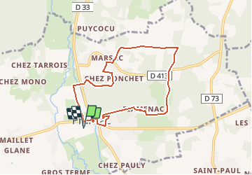

7.8 km | 9 km-effort


User


FREE GPS app for hiking
 SityTrail
IGN / Geographical institutes
SityTrail World
The world is yours!
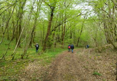
Trail On foot of 7.6 km to be discovered at New Aquitaine, Charente, Pranzac. This trail is proposed by alainjoseph6.
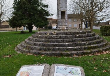
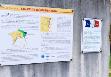
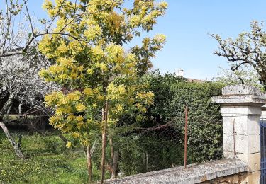
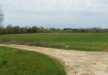
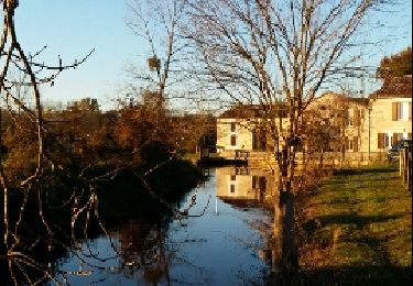
Un balade sympa qui permet de découvrir la commune de Pranzac 16 110 sur sa partie nord proximité de Bunzac. La fin de la randonnée fera découvrir les nouveaux aménagements du bourg et un bras du Bandiat qui chemine dans le village.
Walking
Walking
Walking
Walking
Walking

Walking
Walking
Walking

Mountain bike