57 km | 70 km-effort
La Redorte
DENNEBECQ
User
Length
11.5 km
Max alt
110 m
Uphill gradient
119 m
Km-Effort
13.1 km
Min alt
52 m
Downhill gradient
119 m
Boucle
Yes
Creation date :
2019-12-10 13:04:45.737
Updated on :
2019-12-12 12:50:38.993
2h44
Difficulty : Easy
FREE GPS app for hiking
About
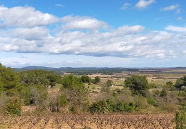
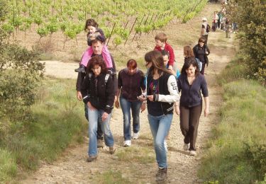
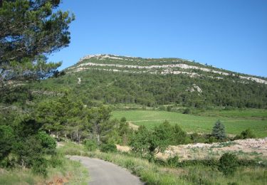
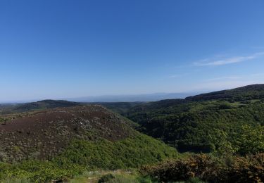
Trail Walking of 11.5 km to be discovered at Occitania, Aude, La Redorte. This trail is proposed by DENNEBECQ.
Positioning
Country:
France
Region :
Occitania
Department/Province :
Aude
Municipality :
La Redorte
Location:
Unknown
Start:(Dec)
Start:(UTM)
472344 ; 4788405 (31T) N.
Comments
Trails nearby
trois col en minervois
Cycle
Very easy
(1)
Azille,
Occitania,
Aude,
France
86 km | 108 km-effort
5h 36min
Yes
ESCALES - La tour Romane
Walking
Very easy
(1)
Escales,
Occitania,
Aude,
France
4.2 km | 5.6 km-effort
1h 5min
Yes
CanalduMidi_Minerve
Cycle
Medium
(1)
Homps,
Occitania,
Aude,
France
41 km | 47 km-effort
2h 43min
No
En Corbières - Le Bosquet - Castelnau d'Aude
Walking
Medium
Castelnau-d'Aude,
Occitania,
Aude,
France
4.8 km | 5.8 km-effort
2h 30min
Yes
Reco Officielle Marche RED'S 15.10.2022
Walking
Very difficult
(1)
Saint-Couat-d'Aude,
Occitania,
Aude,
France
25 km | 34 km-effort
7h 44min
Yes
Salette croix de sou
Road bike
Difficult
Azille,
Occitania,
Aude,
France
72 km | 91 km-effort
5h 19min
Yes