


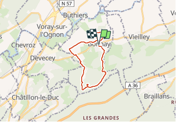

14.6 km | 20 km-effort


User


FREE GPS app for hiking
 SityTrail
IGN / Geographical institutes
SityTrail World
The world is yours!
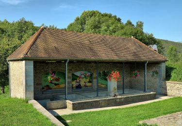
Trail Walking of 10.4 km to be discovered at Bourgogne-Franche-Comté, Doubs, Bonnay. This trail is proposed by eltonnermou.
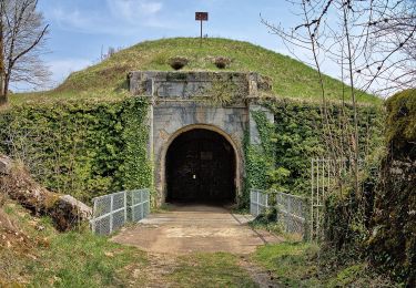
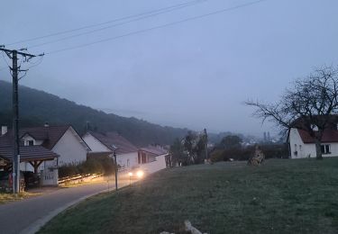
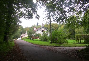
randonnée les pieds 3/4 propres,
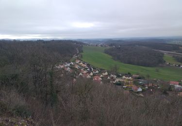
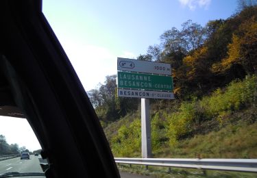
qui vous emmène des pentes du fort de la dame blanche à la plaine ; de la grotte aux fées (que je n'ai pas vu) au château du XVII et XVIII, avec une jolie vue sur le village lors de la descente.
On foot

Walking
Walking
Walking
On foot
On foot
On foot
On foot
On foot