


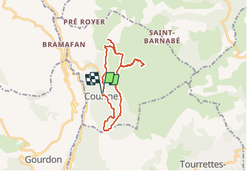

7.2 km | 11.2 km-effort


User


FREE GPS app for hiking
 SityTrail
IGN / Geographical institutes
SityTrail World
The world is yours!
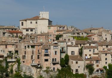
Trail Walking of 14.1 km to be discovered at Provence-Alpes-Côte d'Azur, Maritime Alps, Courmes. This trail is proposed by PEBREJOSIANE.
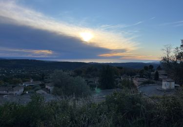
Au départ du village de Courmes et vers le plateau St Barnabé, site spectaculaire de Lapiaz entassés.
Jolie balade automnale sans difficulté

Walking

Walking
Walking

Walking

Walking

Walking
On foot

On foot

On foot