


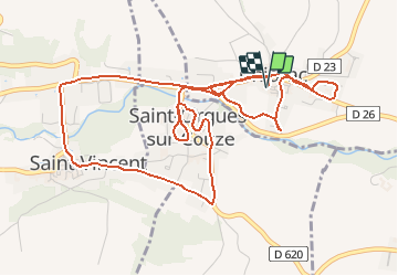

10.1 km | 14.9 km-effort


User


FREE GPS app for hiking
 SityTrail
IGN / Geographical institutes
SityTrail World
The world is yours!
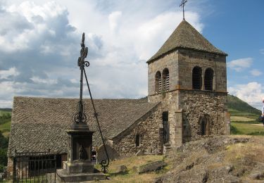
Trail Mountain bike of 7 km to be discovered at Auvergne-Rhône-Alpes, Puy-de-Dôme, Chidrac. This trail is proposed by jome63.
Parcours VTT à travers les villages de Chidrac, Saint-Cirgues-sur-Couze et Saint-Vincent. Départ et retour au parking public de la rue du Fort de Chidrac.
Walking

Walking
Walking

On foot
On foot

On foot
On foot
On foot

On foot