


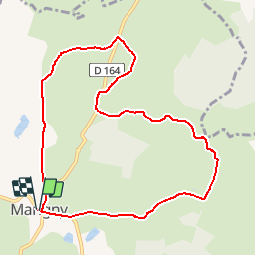

29 km | 38 km-effort


User


FREE GPS app for hiking
 SityTrail
IGN / Geographical institutes
SityTrail World
The world is yours!
Trail On foot of 9.4 km to be discovered at Bourgogne-Franche-Comté, Saône-et-Loire, Marigny. This trail is proposed by Bret.

Walking
Walking
Walking

On foot
Walking
On foot
Walking
Walking
Walking
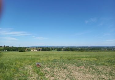
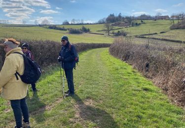
belle petite marche pas trop difficile