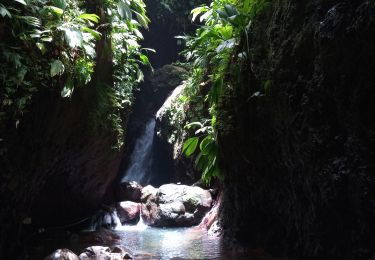
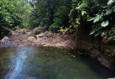
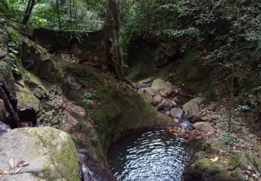
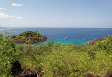
4.5 km | 6.9 km-effort
pointe du lézard
Domdomii
User
Length
3.3 km
Max alt
86 m
Uphill gradient
83 m
Km-Effort
4.5 km
Min alt
4 m
Downhill gradient
112 m
Boucle
No
Creation date :
2019-12-06 12:53:51.999
Updated on :
2019-12-06 19:59:46.24
1h38
Difficulty : Very easy
FREE GPS app for hiking
About
Trail Walking of 3.3 km to be discovered at Guadeloupe, Unknown, Bouillante. This trail is proposed by Domdomii.
Positioning
Country:
France
Region :
Guadeloupe
Department/Province :
Unknown
Municipality :
Bouillante
Location:
Unknown
Start:(Dec)
Start:(UTM)
631164 ; 1784696 (20Q) N.
Comments
Trails nearby
Trou à Diable par la rivière Bourceau
Walking
Easy
Bouillante,
Guadeloupe,
Unknown,
France
12 km | 18.4 km-effort
3h 22min
No
Cascade de Beaugendre
Walking
Very easy
(1)
Vieux-Habitants,
Guadeloupe,
Unknown,
France
7 km | 11 km-effort
2h 31min
Yes
Piton de Bouillante
Walking
Medium
Petit-Bourg,
Guadeloupe,
Unknown,
France
11.3 km | 23 km-effort
3h 19min
No
Aquarando Rivière Losteau - Rivière Espérance
Walking
Easy
Bouillante,
Guadeloupe,
Unknown,
France
4.3 km | 6.5 km-effort
2h 17min
Yes
la mamelle au pigeon
Walking
Easy
Pointe-Noire,
Guadeloupe,
Unknown,
France
14 km | 19.1 km-effort
1h 24min
No
Trou à Diable
Walking
Easy
(1)
Bouillante,
Guadeloupe,
Unknown,
France
3.8 km | 5.9 km-effort
1h 22min
Yes
Pointe à Lézard - Anse à Sable
Walking
Very easy
Bouillante,
Guadeloupe,
Unknown,
France
4.6 km | 6.9 km-effort
1h 30min
Yes
Réserve Cousteau - Ilets Pigeons
Canoe - kayak
Very easy
Bouillante,
Guadeloupe,
Unknown,
France
4.2 km | 4.6 km-effort
4h 41min
Yes