43 km | 53 km-effort
chambois
NICOLAS.Philippe
User
Length
17.7 km
Max alt
261 m
Uphill gradient
277 m
Km-Effort
21 km
Min alt
95 m
Downhill gradient
276 m
Boucle
No
Creation date :
2019-12-01 08:16:01.889
Updated on :
2019-12-01 17:14:12.154
6h37
Difficulty : Very easy
FREE GPS app for hiking
About
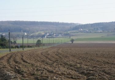
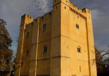
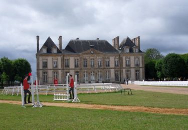
Trail Walking of 17.7 km to be discovered at Normandy, Orne, Gouffern en Auge. This trail is proposed by NICOLAS.Philippe.
Positioning
Country:
France
Region :
Normandy
Department/Province :
Orne
Municipality :
Gouffern en Auge
Location:
Fel
Start:(Dec)
Start:(UTM)
287382 ; 5409645 (31U) N.
Comments
Trails nearby
Randonnée VTT - Le Bourg Saint Léonard
Mountain bike
Difficult
(1)
Gouffern en Auge,
Normandy,
Orne,
France
2h 30min
Yes
Boucle du Bourg-St-Leonard
Equestrian
Difficult
Gouffern en Auge,
Normandy,
Orne,
France
20 km | 23 km-effort
5h 0min
Yes
Août 1944 - Chambois
Equestrian
Medium
Gouffern en Auge,
Normandy,
Orne,
France
16.1 km | 19 km-effort
4h 0min
Yes
Août 1944 - Chambois
Mountain bike
Medium
Gouffern en Auge,
Normandy,
Orne,
France
16.1 km | 19 km-effort
1h 30min
Yes
Août 1944 - Chambois
Walking
Difficult
Gouffern en Auge,
Normandy,
Orne,
France
16.1 km | 19 km-effort
5h 0min
Yes
Espace VTT FFC du Pays d'Auge Ornais - Circuit n°14 - Trans'Pays d'Auge
Mountain bike
Difficult
Gouffern en Auge,
Normandy,
Orne,
France
20 km | 26 km-effort
1h 30min
No
Espace VTT FFC du Pays d'Auge Ornais - Circuit n°12 - Exmes
Mountain bike
Difficult
Gouffern en Auge,
Normandy,
Orne,
France
24 km | 28 km-effort
2h 0min
Yes
Espace VTT FFC du Pays d'Auge Ornais - Circuit n°4 - Trun
Mountain bike
Difficult
Gouffern en Auge,
Normandy,
Orne,
France
47 km | 53 km-effort
3h 30min
Yes
Espace VTT FFC du Pays d'Auge Ornais- Circuit n°3 - Chambois - Fel
Mountain bike
Medium
Gouffern en Auge,
Normandy,
Orne,
France
8 km | 9.1 km-effort
40min
Yes