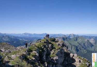
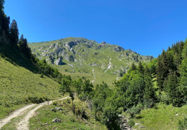
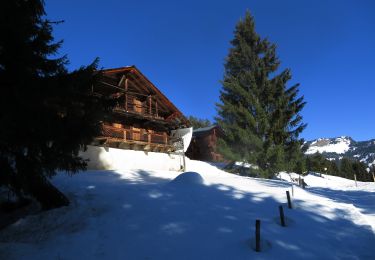
16.5 km | 30 km-effort
Rando Châtel Les Mattes
TRIMAILLE
User
Length
9.2 km
Max alt
1919 m
Uphill gradient
802 m
Km-Effort
19.9 km
Min alt
1164 m
Downhill gradient
805 m
Boucle
Yes
Creation date :
2019-11-29 16:48:11.753
Updated on :
2019-11-29 16:49:21.168
3h54
Difficulty : Difficult
FREE GPS app for hiking
About
Trail Walking of 9.2 km to be discovered at Auvergne-Rhône-Alpes, Upper Savoy, Châtel. This trail is proposed by TRIMAILLE.
Positioning
Country:
France
Region :
Auvergne-Rhône-Alpes
Department/Province :
Upper Savoy
Municipality :
Châtel
Location:
Unknown
Start:(Dec)
Start:(UTM)
331221 ; 5124187 (32T) N.
Comments
Trails nearby
Mont de grange depuis le col de Bassachaux
Walking
Difficult
(2)
Châtel,
Auvergne-Rhône-Alpes,
Upper Savoy,
France
6h 7min
Yes
Le Mont de Grange, 2432m
Walking
Difficult
(2)
Abondance,
Auvergne-Rhône-Alpes,
Upper Savoy,
France
10.9 km | 25 km-effort
7h 0min
Yes
Cascade boucle 2
Walking
Difficult
(1)
La Chapelle-d'Abondance,
Auvergne-Rhône-Alpes,
Upper Savoy,
France
10.1 km | 14.9 km-effort
3h 23min
Yes
Petite Châtel
Snowshoes
Medium
Châtel,
Auvergne-Rhône-Alpes,
Upper Savoy,
France
5.7 km | 10.6 km-effort
2h 0min
Yes
Randonnée entre la France et la suisse
Snowshoes
Easy
Châtel,
Auvergne-Rhône-Alpes,
Upper Savoy,
France
5.8 km | 8.5 km-effort
2h 3min
Yes
Col de Bassachaux le lac vert 7 juillet 2022
Walking
Very difficult
Abondance,
Auvergne-Rhône-Alpes,
Upper Savoy,
France
13.3 km | 19.9 km-effort
3h 11min
Yes
Les Mattes
Walking
Difficult
Châtel,
Auvergne-Rhône-Alpes,
Upper Savoy,
France
11.1 km | 22 km-effort
5h 42min
Yes
les Québales
Snowshoes
Difficult
Châtel,
Auvergne-Rhône-Alpes,
Upper Savoy,
France
3 km | 8.4 km-effort
2h 0min
No
Morgins - circuit Bonavau, La Truche,La Foilleuse, Savolaire 29.09.18
Walking
Medium
Troistorrents,
Valais/Wallis,
Monthey,
Switzerland
15.1 km | 23 km-effort
4h 50min
Yes