


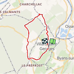

14.2 km | 17.9 km-effort


User


FREE GPS app for hiking
 SityTrail
IGN / Geographical institutes
SityTrail World
The world is yours!
Trail Walking of 11.7 km to be discovered at Bourgogne-Franche-Comté, Doubs, Villars-Saint-Georges. This trail is proposed by eltonnermou.
randonnée pieds propres (9,5km de goudron).
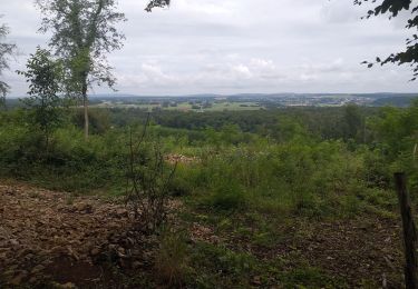
déambulation agréable à travers vallons et forêts. Randonnée parfaite pour la saison hivernale.

Walking
On foot
Walking
Walking
Walking
On foot

Walking
Walking
Walking