5.5 km | 6.2 km-effort
forges les eaux
maillebreze
User
Length
9.1 km
Max alt
174 m
Uphill gradient
95 m
Km-Effort
10.3 km
Min alt
133 m
Downhill gradient
96 m
Boucle
Yes
Creation date :
2019-11-26 07:47:23.387
Updated on :
2019-11-26 09:04:10.028
3h20
Difficulty : Medium
FREE GPS app for hiking
About
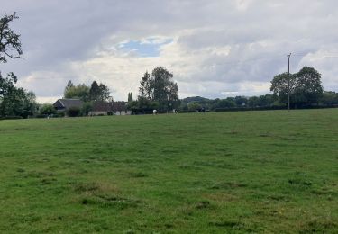
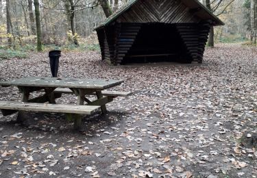
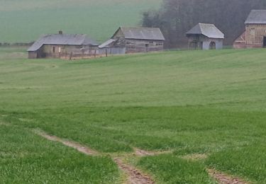
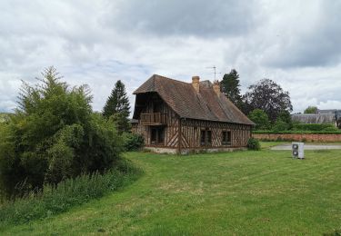
Trail On foot of 9.1 km to be discovered at Normandy, Seine-Maritime, Forges-les-Eaux. This trail is proposed by maillebreze.
Positioning
Country:
France
Region :
Normandy
Department/Province :
Seine-Maritime
Municipality :
Forges-les-Eaux
Location:
Forges-les-Eaux
Start:(Dec)
Start:(UTM)
395028 ; 5496385 (31U) N.
Comments
Trails nearby
Forges les Eaux.Vers la fontaine de la Chevrette
Walking
Medium
Forges-les-Eaux,
Normandy,
Seine-Maritime,
France
1h 35min
Yes
Forges - Serqueux par voie verte puis campagne
Walking
Medium
Forges-les-Eaux,
Normandy,
Seine-Maritime,
France
8 km | 8.9 km-effort
1h 50min
Yes
Forges les eaux . Lacs et forets
Walking
Easy
Forges-les-Eaux,
Normandy,
Seine-Maritime,
France
10.3 km | 12.1 km-effort
3h 13min
Yes
Rouvray-Vatillon
Walking
Difficult
Rouvray-Catillon,
Normandy,
Seine-Maritime,
France
12.3 km | 15 km-effort
3h 23min
Yes
forges les eaux
Walking
Very easy
Forges-les-Eaux,
Normandy,
Seine-Maritime,
France
9.8 km | 11.3 km-effort
2h 38min
Yes
FR-9
On foot
Medium
Roncherolles-en-Bray,
Normandy,
Seine-Maritime,
France
19.9 km | 23 km-effort
5h 19min
Yes
vtt
Bicycle tourism
Very easy
Forges-les-Eaux,
Normandy,
Seine-Maritime,
France
48 km | 51 km-effort
2h 38min
No
Forges A32
Walking
Easy
Serqueux,
Normandy,
Seine-Maritime,
France
6.5 km | 7.4 km-effort
2h 0min
Yes
Forges A9
Walking
Medium
Forges-les-Eaux,
Normandy,
Seine-Maritime,
France
21 km | 24 km-effort
5h 14min
Yes