


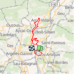

11.8 km | 20 km-effort


User


FREE GPS app for hiking
 SityTrail
IGN / Geographical institutes
SityTrail World
The world is yours!
Trail On foot of 13 km to be discovered at Occitania, Hautespyrenees, Ayros-Arbouix. This trail is proposed by almitpau.
Boucle très sympathique avec de magnifiques panoramas depuis le balcon de Silhen et le Tour d'Agos Vidalos. Intérêt culturel.
Attention le PR de retour vers le Pont de Tilhos le long du gave est fermé - obligation de passer par Silhen.

Walking

Electric bike

Walking
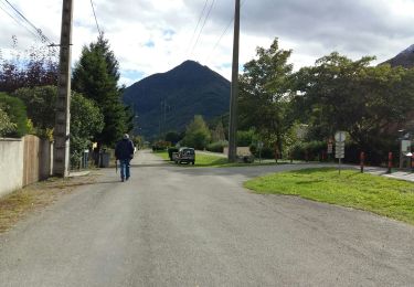
Walking

Walking

Walking
Walking
Walking
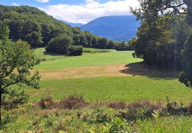
Walking