12.9 km | 21 km-effort
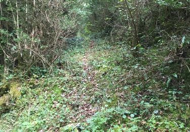
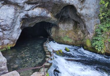
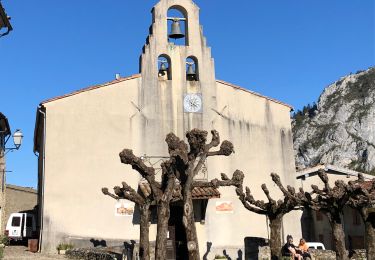
Foret de Belesta
philou6351
User
Length
13 km
Max alt
939 m
Uphill gradient
631 m
Km-Effort
21 km
Min alt
517 m
Downhill gradient
630 m
Boucle
Yes
Creation date :
2014-12-10 00:00:00.0
Updated on :
2014-12-10 00:00:00.0
4h30
Difficulty : Easy
FREE GPS app for hiking
About
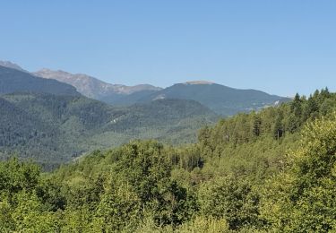
Trail Walking of 13 km to be discovered at Occitania, Ariège, Bélesta. This trail is proposed by philou6351.
Points of interest
Positioning
Country:
France
Region :
Occitania
Department/Province :
Ariège
Municipality :
Bélesta
Location:
Unknown
Start:(Dec)
Start:(UTM)
414350 ; 4747334 (31T) N.
Comments
Trails nearby
cols du figuier et de Ballussou et croix de Morenci depuis Fougax 09
Walking
Easy
Fougax-et-Barrineuf,
Occitania,
Ariège,
France
6h 55min
Yes
espalisse 00
Walking
Difficult
Bélesta,
Occitania,
Ariège,
France
13.8 km | 18 km-effort
1366h 54min
No
ballade au trou
Other activity
Very easy
Bélesta,
Occitania,
Ariège,
France
3.6 km | 5.2 km-effort
1h 36min
Yes
accès trou de la doline plate
Other activity
Very easy
Bélesta,
Occitania,
Ariège,
France
116 km | 345 km-effort
6h 58min
No
Fusion de ballade rieufourcant vers les mijanes et ludax
Other activity
Very easy
Bélesta,
Occitania,
Ariège,
France
58 km | 88 km-effort
2h 18min
No
4 tumulus de rieufourcant 2
Other activity
Difficult
Bélesta,
Occitania,
Ariège,
France
3.1 km | 4.9 km-effort
2h 39min
Yes
Forêt de Belesta Ariège André
Walking
Medium
Bélesta,
Occitania,
Ariège,
France
16.5 km | 25 km-effort
5h 56min
Yes
trou au croisement
Other activity
Very easy
Bélesta,
Occitania,
Ariège,
France
1.3 km | 2 km-effort
1h 3min
No
20211011 Belesta-Montsegur
Walking
Medium
Bélesta,
Occitania,
Ariège,
France
17.4 km | 29 km-effort
5h 0min
No