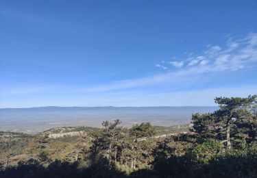
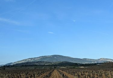
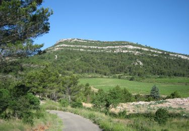
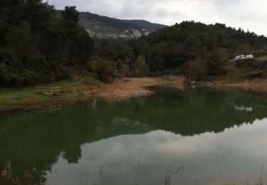
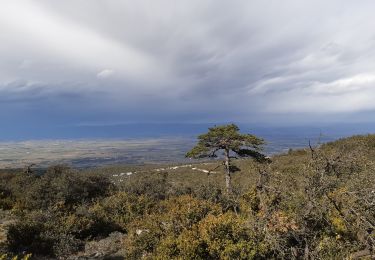
Trail Walking Comigne - les crêtes de Comigne - Photo

les crêtes de Comigne

 belhache
belhache

User

© OpenStreetMap contributors
Length
Length
10.8 km
Max alt
Max alt
447 m
Uphill gradient
Uphill gradient
359 m
Km-Effort
Km-Effort  
15.6 km
Min alt
Min alt
108 m
Downhill gradient
Downhill gradient
358 m
Boucle
Boucle
Yes
Creation date :
2019-11-21 12:08:18.887
Updated on :
2019-11-21 15:41:22.344

(0 Reviews)

Walking
Walking
2h39
Difficulty : Very easy

Scan this QR Code to open this trail in the SityTrail application

FREE GPS app for hiking

Logo SityTrail SityTrail

IGN / Geographical institutes

Download SityTrail from the App Store Download SityTrail from Google Play

Logo SityTrail SityTrail World

The world is yours!

Download SityTrail from the App Store Download SityTrail from Google Play Download SityTrail on Huawei AppGallery

About

Trail Walking of 10.8 km to be discovered at Occitania, Aude, Comigne. This trail is proposed by belhache.

Elevation profile

Positioning

Country:
France
Region :
Occitania
Department/Province :
Aude
Municipality :
Comigne
Location:
Unknown
Start:(UTM)
465642 ; 4779651 (31T) N.

Trails nearby

Trail Walking Comigne - Signal Alaric par Comigne combe Mijere Roc gris  - Photo
Walking
GUIDE
Ada11

Walking

Medium
Comigne, Occitania, Aude, France
13.6 km | 21 km-effort
5h 15min
Yes
Trail Walking Capendu - CAPENDU. Le chemin de ronde et les lacs - Photo
Walking
Denisnr

Walking

Difficult
(2)
Capendu, Occitania, Aude, France
9.9 km | 14.1 km-effort
2h 58min
Yes
Trail Walking Comigne - chateau de miramont - Photo
Walking
yvessavoy

Walking

Very easy
(1)
Comigne, Occitania, Aude, France
17.2 km | 25 km-effort
5h 0min
Yes
Trail Walking Camplong-d'Aude - La Montagne d'Alaric - Le Roc de l'Aigle - Photo
Walking
Cabaretou

Walking

Difficult
Camplong-d'Aude, Occitania, Aude, France
13.4 km | 21 km-effort
4h 48min
Yes
Trail Walking Saint-Couat-d'Aude - Reco Officielle Marche RED'S 15.10.2022 - Photo
Walking
jacques delaporte

Walking

Very difficult
(1)
Saint-Couat-d'Aude, Occitania, Aude, France
25 km | 34 km-effort
7h 44min
Yes
Trail Walking Capendu - Barbiara  - les 2 lacs - Photo
Walking
Taupunzien

Walking

Very easy
Capendu, Occitania, Aude, France
13.3 km | 20 km-effort
3h 31min
Yes
Trail Walking Comigne - Alaric par combe de Migeres  - Photo
Walking
christian425

Walking

Medium
Comigne, Occitania, Aude, France
12.6 km | 19.4 km-effort
4h 43min
Yes
Trail Walking Capendu - balade de la paix  - Photo
Walking
obriet

Walking

Very easy
Capendu, Occitania, Aude, France
4.7 km | 6 km-effort
1h 32min
Yes
Trail Walking Comigne - col du fer à cheval - Photo
Walking
Mascart

Walking

Medium
Comigne, Occitania, Aude, France
9.2 km | 13.2 km-effort
2h 52min
Yes


Close
My subscriptions