


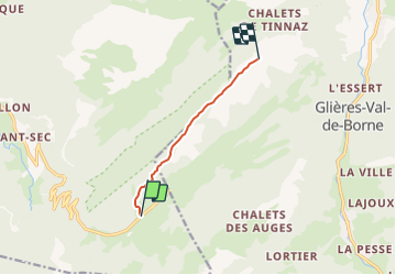

12.6 km | 21 km-effort


User


FREE GPS app for hiking
 SityTrail
IGN / Geographical institutes
SityTrail World
The world is yours!
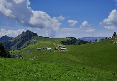
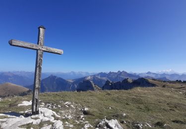
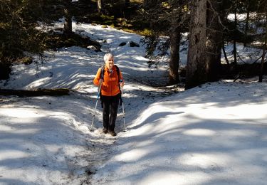
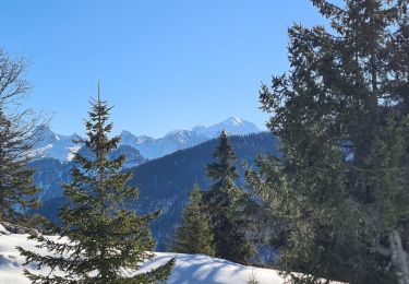
Trail Snowshoes of 5.2 km to be discovered at Auvergne-Rhône-Alpes, Upper Savoy, Fillière. This trail is proposed by cfaucogney.
Depuis le début du parking du plateau, coté Thorens, monter par la route d''alpage jusqu''à la forêt. Ensuite, au GPS, à travers la forêt puis les clairières, le plus proche possible de la ligne de crête. Retour par le même chemin. Temps de marche: 4 h 30.

Walking

Walking

Walking
Walking
Walking
Walking
Walking
Walking
Snowshoes