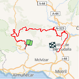

5.4 km | 9.5 km-effort

User


FREE GPS app for hiking
 SityTrail
IGN / Geographical institutes
SityTrail World
The world is yours!
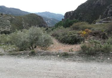
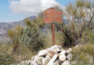
Trail Moto cross of 74 km to be discovered at Andalusia, Granada, Lentegí. This trail is proposed by jpipacific.
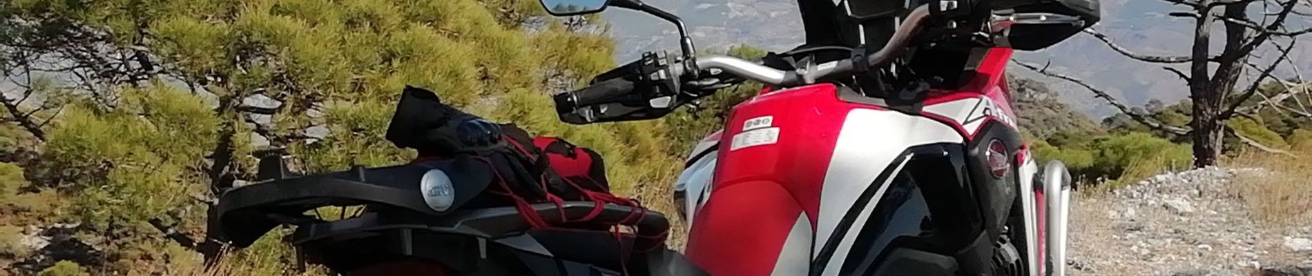
Le 18 novembre 2019 Honda Africa Twin CRF 1000
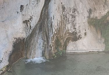
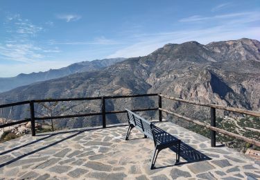
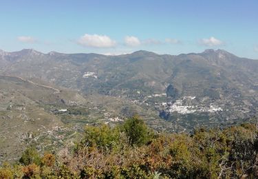
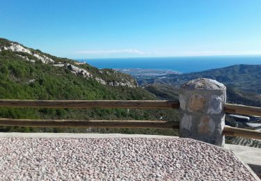
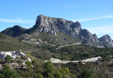
Magnifique randonnée . Des paysages splendides et gigantesques. Vue superbe sur la Sierra Nevada enneigée.
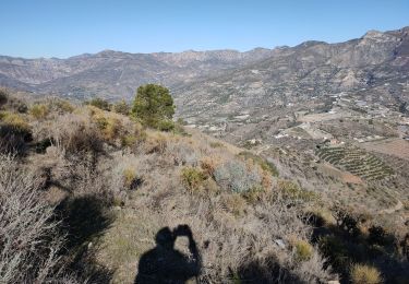
Une descente après les crêtes un peu pentue mais rien de bien méchant


Walking
Walking
Walking

Walking
Walking
Walking
On foot
Walking