14.5 km | 16.7 km-effort
BUTOT
PHIL76750
User
Length
11.6 km
Max alt
175 m
Uphill gradient
129 m
Km-Effort
13.3 km
Min alt
131 m
Downhill gradient
128 m
Boucle
Yes
Creation date :
2019-11-17 07:55:12.213
Updated on :
2019-11-17 11:11:02.689
3h14
Difficulty : Very easy
FREE GPS app for hiking
About
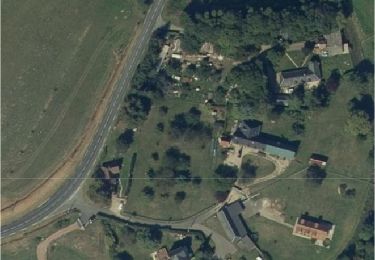
Trail Walking of 11.6 km to be discovered at Normandy, Seine-Maritime, Butot. This trail is proposed by PHIL76750.
Positioning
Country:
France
Region :
Normandy
Department/Province :
Seine-Maritime
Municipality :
Butot
Location:
Unknown
Start:(Dec)
Start:(UTM)
357510 ; 5497764 (31U) N.
Comments
Trails nearby
Butot -76- Chemin de randonnée le BOis de Grosfy
Walking
Difficult
Butot,
Normandy,
Seine-Maritime,
France
4h 3min
Yes
Clères - Le Bocasse - V2 - GD
Walking
Medium
(1)
Clères,
Normandy,
Seine-Maritime,
France
9.1 km | 11 km-effort
2h 30min
No
Goupillieres 6
Walking
Easy
Goupillières,
Normandy,
Seine-Maritime,
France
6.8 km | 7.6 km-effort
1h 40min
Yes
Du centre de la Seine-Maritime à la découverte de Notre-Dame-de-France
On foot
Easy
Ancretiéville-Saint-Victor,
Normandy,
Seine-Maritime,
France
10.1 km | 11.2 km-effort
2h 33min
Yes
Le Bois de Grofys
On foot
Easy
Hugleville-en-Caux,
Normandy,
Seine-Maritime,
France
11.6 km | 13.3 km-effort
3h 1min
Yes
Ste Austreberthe Pavilly A-R
Walking
Difficult
Sainte-Austreberthe,
Normandy,
Seine-Maritime,
France
12.5 km | 15.6 km-effort
3h 7min
Yes
La Bouteillerie
Walking
Easy
Varneville-Bretteville,
Normandy,
Seine-Maritime,
France
12.8 km | 14 km-effort
3h 7min
Yes
ancretieville saint victor
Walking
Very easy
Ancretiéville-Saint-Victor,
Normandy,
Seine-Maritime,
France
10.1 km | 11.3 km-effort
2h 32min
Yes
goupillères balade
Walking
Very easy
(1)
Goupillières,
Normandy,
Seine-Maritime,
France
6.4 km | 7.2 km-effort
1h 36min
Yes