


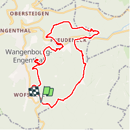


14.9 km | 24 km-effort

User GUIDE


FREE GPS app for hiking
 SityTrail
IGN / Geographical institutes
SityTrail World
The world is yours!
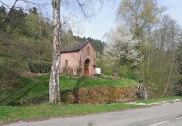
Trail Walking of 19.8 km to be discovered at Grand Est, Bas-Rhin, Wangenbourg-Engenthal. This trail is proposed by holtzv.
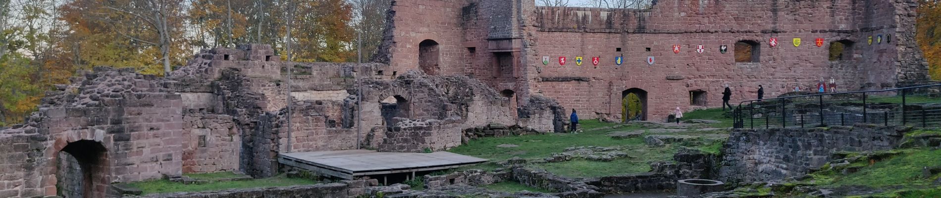
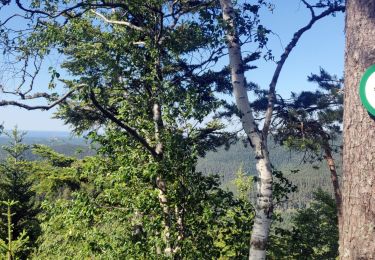
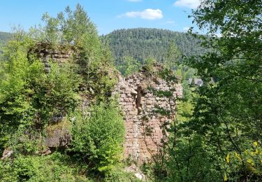
19,8 km d 840m par Rocher du Gihr, le Bischofslaeger, le Castelberg et sa grotte, l'abri du Heidenschloss, le Rotfels, les ruines du Freundeneck, le château de wagenbourg et le sentiers des sculptures


36 photos in total. Please click on a photo to see them all in the gallery.

Walking

Horseback riding

Horseback riding
Walking

Walking
Walking

Walking
Walking
Walking