


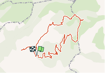

12.7 km | 22 km-effort


User


FREE GPS app for hiking
 SityTrail
IGN / Geographical institutes
SityTrail World
The world is yours!
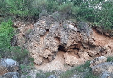
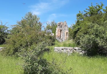
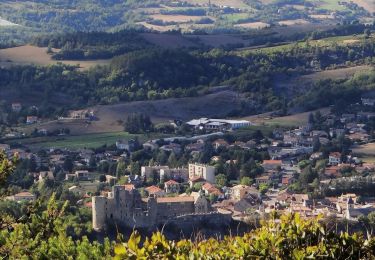
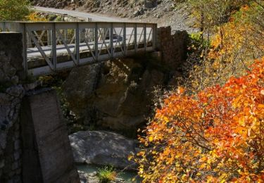
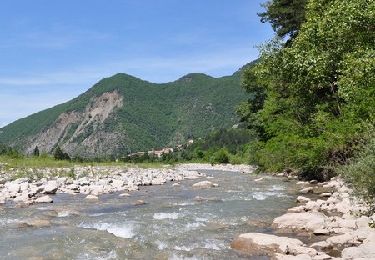
Trail Walking of 14 km to be discovered at Provence-Alpes-Côte d'Azur, Alpes-de-Haute-Provence, Clamensane. This trail is proposed by RobinMicheline.
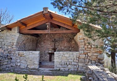
super , vue à 360 degrés, quelques sentiers un peu raide , bel Aqueduc o l s
Walking
Walking
Walking
Walking
Walking
Walking

Walking
Walking
Walking