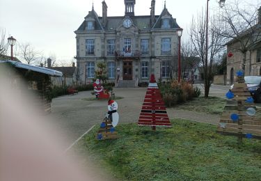
8.6 km | 10.5 km-effort
la jacquerie ,chennegy
rando-yves
User
Length
48 km
Max alt
249 m
Uphill gradient
506 m
Km-Effort
55 km
Min alt
94 m
Downhill gradient
550 m
Boucle
No
Creation date :
2019-11-06 12:52:40.012
Updated on :
2019-11-06 17:14:10.793
4h20
Difficulty : Easy
FREE GPS app for hiking
About
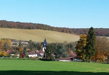
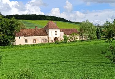
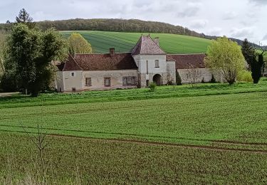
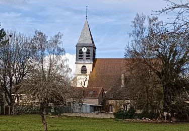
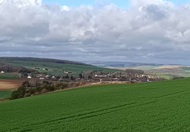
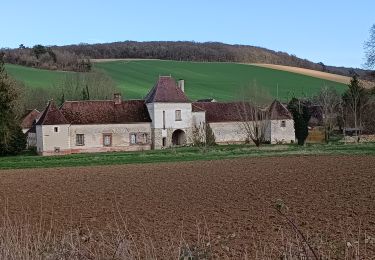
Trail Walking of 48 km to be discovered at Grand Est, Aube, Chennegy. This trail is proposed by rando-yves.
Description
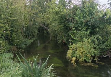
assez facile . foret . agreable .
Positioning
Country:
France
Region :
Grand Est
Department/Province :
Aube
Municipality :
Chennegy
Location:
Unknown
Start:(Dec)
Start:(UTM)
563403 ; 5341529 (31U) N.
Comments
Trails nearby
Le chemin du patrimoine du Valdreux
Walking
Very easy
(1)
Chennegy,
Grand Est,
Aube,
France
1h 57min
Yes
Au dessus de BUCEY EN OTHE
Walking
Medium
Bucey-en-Othe,
Grand Est,
Aube,
France
9 km | 11.1 km-effort
2h 44min
Yes
Bucey en Othe
Walking
Difficult
Bucey-en-Othe,
Grand Est,
Aube,
France
10 km | 12.6 km-effort
3h 0min
Yes
Randonnée à Chennegy
Walking
Difficult
Chennegy,
Grand Est,
Aube,
France
10.6 km | 12.4 km-effort
3h 5min
Yes
Balade autour de Bicey
Walking
Difficult
Bucey-en-Othe,
Grand Est,
Aube,
France
9.6 km | 12.5 km-effort
2h 50min
Yes
Bucey en Othe
Walking
Medium
Bucey-en-Othe,
Grand Est,
Aube,
France
6.7 km | 8.6 km-effort
1h 46min
Yes
Balade en forêt d'Hothe
Walking
Medium
Vauchassis,
Grand Est,
Aube,
France
9.9 km | 11.6 km-effort
2h 34min
Yes
Randonnée Bucey 01 août, 2023
Walking
Medium
Estissac,
Grand Est,
Aube,
France
8.3 km | 9.4 km-effort
2h 13min
Yes