9.2 km | 11.6 km-effort
Villiersfaux
guydu41
User
Length
10.9 km
Max alt
122 m
Uphill gradient
103 m
Km-Effort
12.2 km
Min alt
88 m
Downhill gradient
103 m
Boucle
Yes
Creation date :
2019-11-05 12:48:24.462
Updated on :
2019-11-05 15:20:30.85
2h30
Difficulty : Very easy
FREE GPS app for hiking
About
Trail Walking of 10.9 km to be discovered at Centre-Loire Valley, Loir-et-Cher, Villiersfaux. This trail is proposed by guydu41.
Description
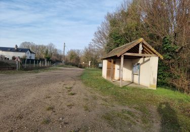
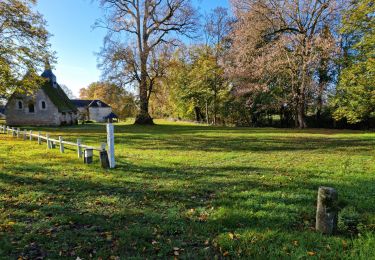
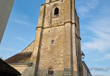
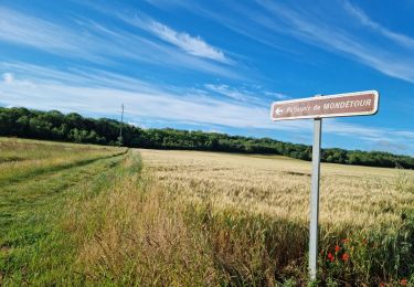
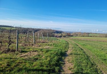
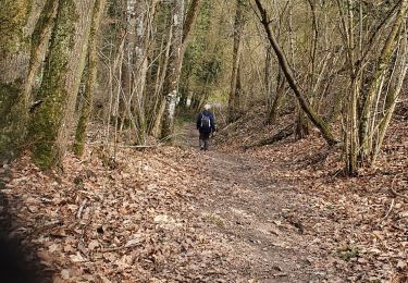
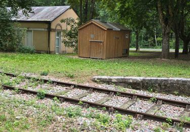
Petite rando très facile à la découverte de trois sites archéologiques.
Positioning
Country:
France
Region :
Centre-Loire Valley
Department/Province :
Loir-et-Cher
Municipality :
Villiersfaux
Location:
Unknown
Start:(Dec)
Start:(UTM)
349307 ; 5290259 (31T) N.
Comments
Trails nearby
Thoré-la-Rochette - Vallée et Coteaux du Loir
Walking
Medium
Thoré-la-Rochette,
Centre-Loire Valley,
Loir-et-Cher,
France
2h 38min
Yes
Varennes
Walking
Easy
Marcilly-en-Beauce,
Centre-Loire Valley,
Loir-et-Cher,
France
7.9 km | 9.1 km-effort
2h 3min
Yes
Château de la Mézière - Asnières
Walking
Medium
Lunay,
Centre-Loire Valley,
Loir-et-Cher,
France
7.4 km | 8.5 km-effort
1h 56min
Yes
Houssay
Walking
Medium
Houssay,
Centre-Loire Valley,
Loir-et-Cher,
France
11.5 km | 14.3 km-effort
2h 36min
Yes
Sasnières - Forêt de Prunay
Walking
Medium
Sasnières,
Centre-Loire Valley,
Loir-et-Cher,
France
10.6 km | 12.4 km-effort
2h 48min
Yes
Thoré-la-Rochette
Walking
Medium
Thoré-la-Rochette,
Centre-Loire Valley,
Loir-et-Cher,
France
9.5 km | 11.1 km-effort
2h 31min
Yes
Circuit au lieu-dit Bordebeure Marcilly-en-Beauce
Walking
Medium
Naveil,
Centre-Loire Valley,
Loir-et-Cher,
France
5.3 km | 6.5 km-effort
1h 30min
Yes
Circuit Promenades et Randonnées (PR) "Les Manières"
Walking
Easy
Houssay,
Centre-Loire Valley,
Loir-et-Cher,
France
12.4 km | 14.8 km-effort
2h 48min
Yes
Mondétour
Walking
Easy
Naveil,
Centre-Loire Valley,
Loir-et-Cher,
France
7.9 km | 9.4 km-effort
2h 34min
Yes