


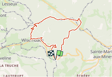

14.1 km | 21 km-effort

User


FREE GPS app for hiking
 SityTrail
IGN / Geographical institutes
SityTrail World
The world is yours!
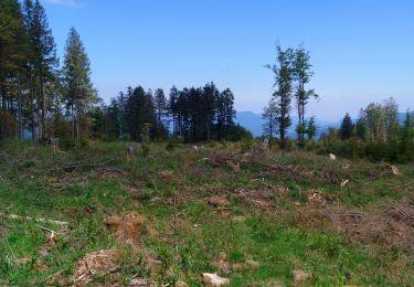
Trail Walking of 16.4 km to be discovered at Grand Est, Vosges, Wisembach. This trail is proposed by DanielROLLET.
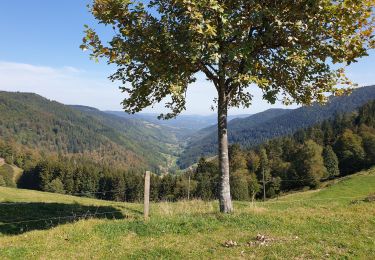
2019 11 02 avec Marie - 10h10 à 16h00
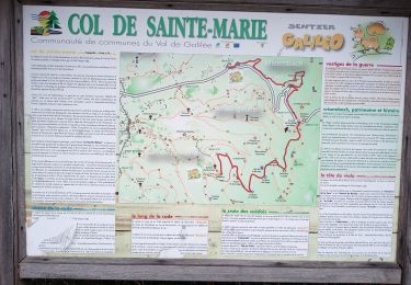
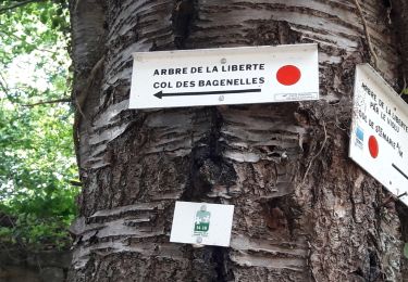
Départ:Retour au col de Sainte-Marie (possible depuis Wisembach.
Temps trés humide et venteux. Quelques averses
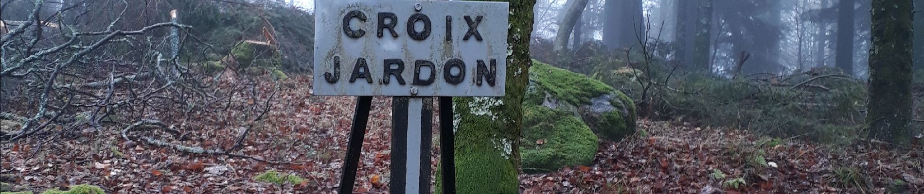
Pertes de temps à cause des champignons.
Plusieurs erreurs


Walking

Walking

Horseback riding

Walking

Walking
Walking
Walking
Nordic walking
Walking