

971 carbet_soufriere_echelle

jpborel
User

Length
10.6 km

Max alt
1449 m

Uphill gradient
1056 m

Km-Effort
25 km

Min alt
590 m

Downhill gradient
1053 m
Boucle
Yes
Creation date :
2019-02-13 11:19:13.611
Updated on :
2019-02-13 11:19:13.622
5h00
Difficulty : Medium

FREE GPS app for hiking
About
Trail Walking of 10.6 km to be discovered at Guadeloupe, Unknown, Capesterre-Belle-Eau. This trail is proposed by jpborel.
Description
Montee premiere chute, col echelle, soufriere par scientifiques descente par voie normale retour col echelle, sommet echelle, descente par karukera
Positioning
Country:
France
Region :
Guadeloupe
Department/Province :
Unknown
Municipality :
Capesterre-Belle-Eau
Location:
Unknown
Start:(Dec)
Start:(UTM)
645720 ; 1774067 (20Q) N.
Comments
Trails nearby
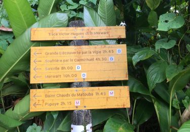
trace des poteaux monté armistice l'echelle soufrière carmichael matouba


Other activity
Very difficult
(1)
Trois-Rivières,
Guadeloupe,
Unknown,
France

17.3 km | 37 km-effort
6h 57min
No
Guadeloupe - Chute du Galion - La Citerne


Walking
Difficult
Saint-Claude,
Guadeloupe,
Unknown,
France

6.5 km | 13 km-effort
2h 56min
Yes
chutes du carbets 1 et 2 🇬🇵


Walking
Medium
Capesterre-Belle-Eau,
Guadeloupe,
Unknown,
France

6.7 km | 12.5 km-effort
3h 54min
No
Guadeloupe - La Soufrière - La Citerne


Walking
Medium
Saint-Claude,
Guadeloupe,
Unknown,
France

10 km | 18.7 km-effort
3h 28min
Yes

la souffriere


Walking
Very easy
(1)
Saint-Claude,
Guadeloupe,
Unknown,
France

6.7 km | 13.2 km-effort
4h 3min
Yes
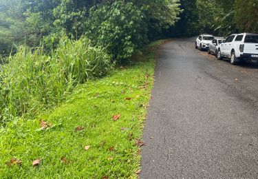
Beausoleil


Trail
Medium
Saint-Claude,
Guadeloupe,
Unknown,
France

10 km | 17.3 km-effort
1h 45min
Yes
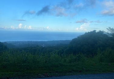
Beausoleil


Trail
Medium
Saint-Claude,
Guadeloupe,
Unknown,
France

9.9 km | 17.2 km-effort
1h 52min
Yes
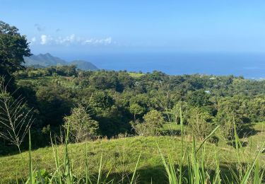
Beau soleil


Trail
Medium
Saint-Claude,
Guadeloupe,
Unknown,
France

6.3 km | 11.1 km-effort
1h 14min
Yes
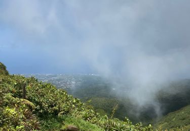
Bains jaune


Walking
Medium
Saint-Claude,
Guadeloupe,
Unknown,
France

6.6 km | 13.1 km-effort
2h 31min
Yes


 SityTrail


ok