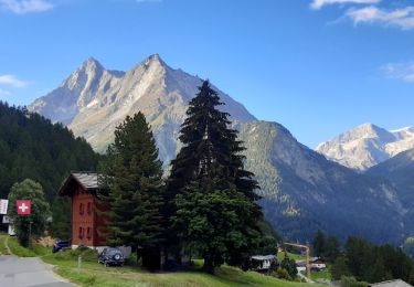
25 km | 49 km-effort
Villa-Villa
lroux
User
Length
29 km
Max alt
2902 m
Uphill gradient
2059 m
Km-Effort
56 km
Min alt
1687 m
Downhill gradient
2053 m
Boucle
Yes
Creation date :
2014-12-11 00:00:00.0
Updated on :
2014-12-11 00:00:00.0
--
Difficulty : Unknown
FREE GPS app for hiking
About
Trail Walking of 29 km to be discovered at Valais/Wallis, Hérens, Evolène. This trail is proposed by lroux.
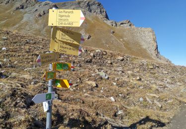
Positioning
Country:
Switzerland
Region :
Valais/Wallis
Department/Province :
Hérens
Municipality :
Evolène
Location:
Unknown
Start:(Dec)
Start:(UTM)
384929 ; 5107142 (32T) N.
Comments
Trails nearby
Tour pédestre du Val d'Hérens
On foot
Very difficult
Evolène,
Valais/Wallis,
Hérens,
Switzerland
11h 5min
No
barrage de moiry
Walking
Medium
Anniviers,
Valais/Wallis,
Sierre,
Switzerland
8.4 km | 14.9 km-effort
2h 19min
Yes
Volvovron - L'A Vieille
On foot
Easy
Evolène,
Valais/Wallis,
Hérens,
Switzerland
4.2 km | 10.3 km-effort
2h 20min
No
Cotter - Volvovron
On foot
Easy
Evolène,
Valais/Wallis,
Hérens,
Switzerland
3.4 km | 6.2 km-effort
1h 25min
No
CHX ZRMT Étape 7 de La Sage à Zinal
Walking
Medium
Evolène,
Valais/Wallis,
Hérens,
Switzerland
25 km | 50 km-effort
7h 57min
No
La Haute Route : J6
Walking
Difficult
Evolène,
Valais/Wallis,
Hérens,
Switzerland
11.3 km | 30 km-effort
4h 26min
No
vs_hike674d
Walking
Very easy
Evolène,
Valais/Wallis,
Hérens,
Switzerland
18 km | 41 km-effort
7h 2min
No
bg_tsate
Walking
Very easy
Evolène,
Valais/Wallis,
Hérens,
Switzerland
3.6 km | 12.7 km-effort
2h 1min
No
st_moiry
Walking
Very easy
Anniviers,
Valais/Wallis,
Sierre,
Switzerland
16.3 km | 30 km-effort
Unknown
Yes