11.9 km | 20 km-effort
Mas Lachamps-Serre de Barre A-R
gscheven
User
Length
7 km
Max alt
807 m
Uphill gradient
311 m
Km-Effort
11.2 km
Min alt
492 m
Downhill gradient
308 m
Boucle
Yes
Creation date :
2019-10-27 10:07:57.382
Updated on :
2019-10-28 23:59:29.617
3h36
Difficulty : Easy
FREE GPS app for hiking
About
Trail Walking of 7 km to be discovered at Auvergne-Rhône-Alpes, Ardèche, Gravières. This trail is proposed by gscheven.
Description
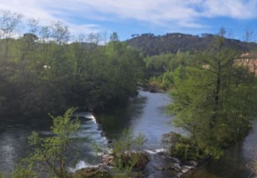
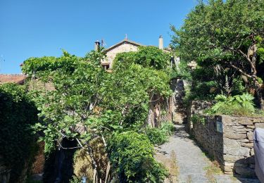
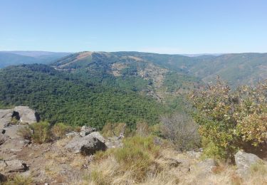
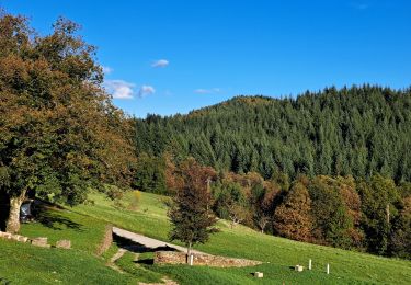
Magnifique vue au sommet - possibilité de prolonger jusque tour de Vigie
Positioning
Country:
France
Region :
Auvergne-Rhône-Alpes
Department/Province :
Ardèche
Municipality :
Gravières
Location:
Unknown
Start:(Dec)
Start:(UTM)
585397 ; 4918939 (31T) N.
Comments
Trails nearby
Serre de Barre versant Ardéchois
Walking
Difficult
Gravières,
Auvergne-Rhône-Alpes,
Ardèche,
France
4h 30min
Yes
GRP haute vallée de la Cèze
Walking
Difficult
Malons-et-Elze,
Occitania,
Gard,
France
23 km | 31 km-effort
7h 3min
No
Vallée de la Gagnière
Walking
Difficult
Les Vans,
Auvergne-Rhône-Alpes,
Ardèche,
France
22 km | 35 km-effort
20h 27min
No
Vallée de la Gagniére
Walking
Difficult
Les Vans,
Auvergne-Rhône-Alpes,
Ardèche,
France
22 km | 35 km-effort
7h 22min
No
GRP Le Cévenol Brahic-Génolhac 32km
Walking
Difficult
Les Vans,
Auvergne-Rhône-Alpes,
Ardèche,
France
32 km | 50 km-effort
11h 28min
No
Malons - Col du Péras
Walking
Easy
(1)
Malons-et-Elze,
Occitania,
Gard,
France
7.9 km | 10.3 km-effort
2h 12min
No
Serre de Barre au départ de Malons
Walking
Difficult
Malons-et-Elze,
Occitania,
Gard,
France
19 km | 28 km-effort
6h 19min
Yes
Serre de Barre
Walking
Very difficult
Gravières,
Auvergne-Rhône-Alpes,
Ardèche,
France
11.9 km | 20 km-effort
5h 39min
Yes
MALONS Besseges
Walking
Very difficult
Malons-et-Elze,
Occitania,
Gard,
France
24 km | 32 km-effort
7h 36min
No