


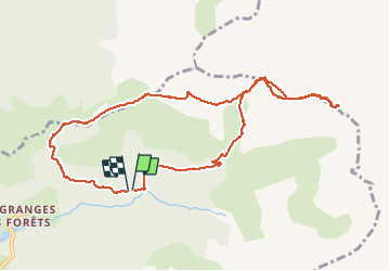

14.1 km | 33 km-effort

User GUIDE


FREE GPS app for hiking
 SityTrail
IGN / Geographical institutes
SityTrail World
The world is yours!
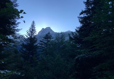
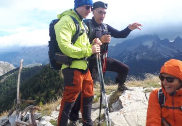
Trail Walking of 11 km to be discovered at Auvergne-Rhône-Alpes, Drôme, Lus-la-Croix-Haute. This trail is proposed by nadd73.
la jarjatte, prendre la piste se garer au parking, monter au col


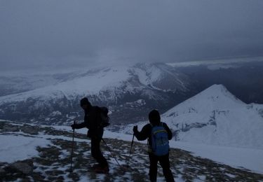
Touring skiing

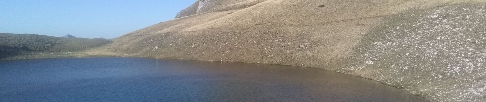
Walking

Walking

Walking

Walking
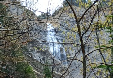
Walking

Walking
Walking
Walking