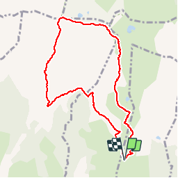

12.7 km | 27 km-effort


User


FREE GPS app for hiking
 SityTrail
IGN / Geographical institutes
SityTrail World
The world is yours!
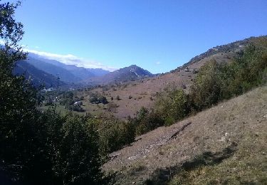
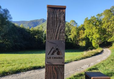
Trail Walking of 9.4 km to be discovered at Occitania, Ariège, Vernaux. This trail is proposed by dawed311.
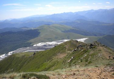
Boucle sur les principaux sommets du massif de la Tabe, bien moins fréquenté que les autres accès. Prendre si possible la pause au Pic de Soularac, le Saint Barthelemy étant bien moins confidentiel. La randonnée offre un panorama exceptionnel du Canigou au Pic de Midi.
Walking
Walking

Walking
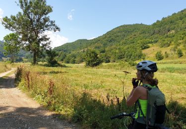
Mountain bike
Walking
Walking

Walking