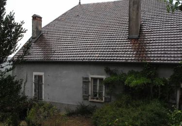
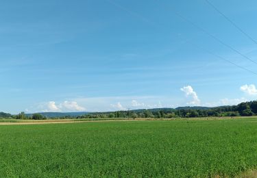
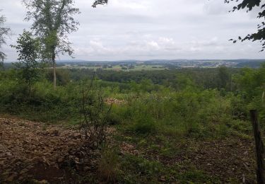
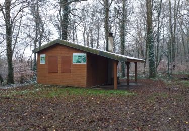
4.2 km | 6.1 km-effort
torpes
groslambert
User
Length
7.7 km
Max alt
306 m
Uphill gradient
164 m
Km-Effort
9.9 km
Min alt
248 m
Downhill gradient
172 m
Boucle
Yes
Creation date :
2019-10-26 07:27:37.466
Updated on :
2019-10-26 09:55:56.973
1h48
Difficulty : Very easy
FREE GPS app for hiking
About
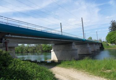
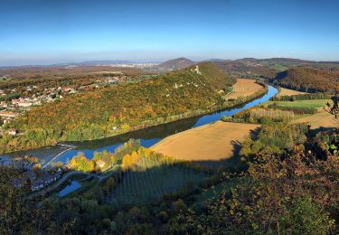
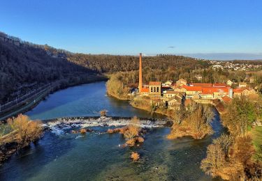
Trail Nordic walking of 7.7 km to be discovered at Bourgogne-Franche-Comté, Doubs, Osselle-Routelle. This trail is proposed by groslambert.
Positioning
Country:
France
Region :
Bourgogne-Franche-Comté
Department/Province :
Doubs
Municipality :
Osselle-Routelle
Location:
Unknown
Start:(Dec)
Start:(UTM)
717062 ; 5227918 (31T) N.
Comments
Trails nearby
Sentier des Crêtes
On foot
Easy
Vorges-les-Pins,
Bourgogne-Franche-Comté,
Doubs,
France
1h 23min
Yes
Sentier de Béthanier-la-Marne
On foot
Easy
Grandfontaine,
Bourgogne-Franche-Comté,
Doubs,
France
8.5 km | 10.2 km-effort
2h 18min
Yes
Sentier du Ruisseau
On foot
Easy
Boussières,
Bourgogne-Franche-Comté,
Doubs,
France
9.3 km | 12.5 km-effort
2h 49min
Yes
Sentier sur les Roches
On foot
Easy
Osselle-Routelle,
Bourgogne-Franche-Comté,
Doubs,
France
7.6 km | 10.5 km-effort
2h 23min
Yes
Sentier de Crête et Bois Rapin
On foot
Easy
(1)
Montferrand-le-Château,
Bourgogne-Franche-Comté,
Doubs,
France
10.1 km | 14.1 km-effort
3h 11min
Yes
Sentier de Notre Dame du Mont
On foot
Easy
Thoraise,
Bourgogne-Franche-Comté,
Doubs,
France
5.2 km | 7.7 km-effort
1h 44min
Yes
saint vit - velesmes-essarts / autour du bois des saussottes
Walking
Easy
Saint-Vit,
Bourgogne-Franche-Comté,
Doubs,
France
13.4 km | 16.4 km-effort
3h 27min
Yes
villars
Walking
Easy
Villars-Saint-Georges,
Bourgogne-Franche-Comté,
Doubs,
France
13.4 km | 16.9 km-effort
3h 32min
Yes
Saint vit-longtemps
Walking
Easy
(1)
Saint-Vit,
Bourgogne-Franche-Comté,
Doubs,
France
15.2 km | 18.5 km-effort
4h 12min
Yes