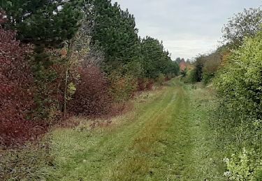
15.4 km | 17.7 km-effort
s
rando-yves
User
Length
14.2 km
Max alt
100 m
Uphill gradient
67 m
Km-Effort
15.1 km
Min alt
80 m
Downhill gradient
68 m
Boucle
Yes
Creation date :
2019-10-18 08:03:03.063
Updated on :
2019-10-25 08:07:53.658
3h39
Difficulty : Very easy
FREE GPS app for hiking
About
Trail Walking of 14.2 km to be discovered at Grand Est, Aube, Saint-Mesmin. This trail is proposed by rando-yves.
Description
t mesmin stade
Positioning
Country:
France
Region :
Grand Est
Department/Province :
Aube
Municipality :
Saint-Mesmin
Location:
Unknown
Start:(Dec)
Start:(UTM)
568917 ; 5366355 (31U) N.
Comments
Trails nearby
Rilly Chauchigny saint mesmin
Walking
Very easy
Rilly-Sainte-Syre,
Grand Est,
Aube,
France
3h 24min
Yes
vallée de la seine
On foot
Easy
Saint-Mesmin,
Grand Est,
Aube,
France
13.3 km | 14.1 km-effort
3h 12min
Yes
vallée de la seine
On foot
Easy
Saint-Mesmin,
Grand Est,
Aube,
France
13.3 km | 14.1 km-effort
3h 12min
Yes
vallée de la seine
On foot
Easy
Saint-Mesmin,
Grand Est,
Aube,
France
13.3 km | 14.1 km-effort
3h 12min
Yes
rando st
Walking
Very easy
Fontaine-les-Grès,
Grand Est,
Aube,
France
13.3 km | 14.2 km-effort
3h 29min
Yes
courlanges retour
Walking
Very easy
Vallant-Saint-Georges,
Grand Est,
Aube,
France
3.6 km | 3.9 km-effort
1h 0min
No
Savières à Troyes
Nordic walking
Medium
Savières,
Grand Est,
Aube,
France
21 km | 23 km-effort
4h 36min
No