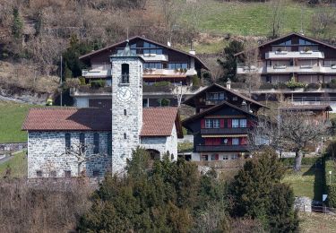
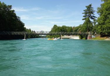
Trail Other activity Heimberg - Ballade vélo à Thun - Photo
 dondon
dondon

User

© OpenStreetMap contributors
Length
Length
56 km
Max alt
Max alt
1010 m
Uphill gradient
Uphill gradient
979 m
Km-Effort
Km-Effort  
69 km
Min alt
Min alt
555 m
Downhill gradient
Downhill gradient
973 m
Boucle
Boucle
Yes
Creation date :
2014-12-11 00:00:00.0
Updated on :
2014-12-11 00:00:00.0

(0 Reviews)

Other activity
Other activity
--
Difficulty : Unknown

Scan this QR Code to open this trail in the SityTrail application

FREE GPS app for hiking

Logo SityTrail SityTrail

IGN / Geographical institutes

Download SityTrail from the App Store Download SityTrail from Google Play

Logo SityTrail SityTrail World

The world is yours!

Download SityTrail from the App Store Download SityTrail from Google Play Download SityTrail on Huawei AppGallery

About

Trail Other activity of 56 km to be discovered at Bern, Thun administrative district, Heimberg. This trail is proposed by dondon.

Description

Trimbach-Rotenfluh-Oberfrich...

Elevation profile

Positioning

Country:
Switzerland
Region :
Bern
Department/Province :
Thun administrative district
Municipality :
Heimberg
Location:
Unknown
Start:(UTM)
393591 ; 5183844 (32T) N.

Trails nearby

Trail On foot Thun - Thun - Merligen - Photo
On foot
GUIDE+

On foot

Easy
Thun, Bern, Thun administrative district, Switzerland
13.4 km | 18.8 km-effort
4h 17min
No
Trail Canoe - kayak Uttigen - Aare - Photo
Canoe - kayak
chbolzli

Canoe - kayak

Very easy
Uttigen, Bern, Thun administrative district, Switzerland
30 km | 34 km-effort
4h 30min
No
Trail Other activity Steffisburg - descente de l'Aar en bateau     pneumatique - Photo
Other activity
chbolzli

Other activity

Easy
Steffisburg, Bern, Thun administrative district, Switzerland
23 km | 25 km-effort
2h 47min
No
Trail Walking Thun - hike26 - Photo
Walking
GUIDE+

Walking

Very easy
Thun, Bern, Thun administrative district, Switzerland
19.9 km | 23 km-effort
Unknown
No
Trail Walking Thun - Ohne Gepäck um den Thunersee: Thun - Gunten - Photo
Walking
GUIDE+

Walking

Very easy
Thun, Bern, Thun administrative district, Switzerland
10.2 km | 15.2 km-effort
Unknown
No
Trail Other activity Uetendorf - Uetendorf - Gerzensee - Toffen - Photo
Other activity
bffcuc

Other activity

Very easy
Uetendorf, Bern, Thun administrative district, Switzerland
15.9 km | 21 km-effort
Unknown
No
Trail Other activity Seftigen - Seftigen - Belp - Photo
Other activity
bffcuc

Other activity

Very easy
Seftigen, Bern, Thun administrative district, Switzerland
15 km | 22 km-effort
Unknown
No
Trail Walking Heimberg - Rettungshunde REDOG - Photo
Walking
urs_weber

Walking

Very easy
Heimberg, Bern, Thun administrative district, Switzerland
4.1 km | 4.4 km-effort
50min
No
Trail Winter sports Gerzensee - Chutzen - Belpberg - Photo
Winter sports
gemalu

Winter sports

Very easy
Gerzensee, Bern, Bern-Mittelland administrative district, Switzerland
14.5 km | 22 km-effort
Unknown
Yes


Close
My subscriptions