


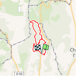

17.4 km | 24 km-effort

User


FREE GPS app for hiking
 SityTrail
IGN / Geographical institutes
SityTrail World
The world is yours!
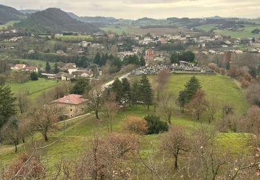
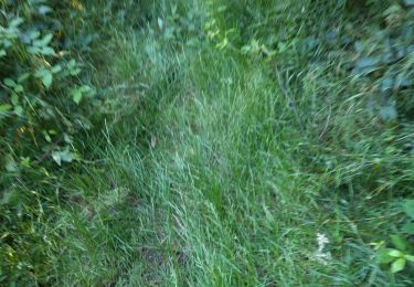
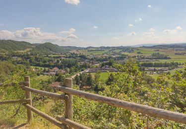
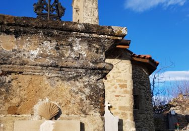
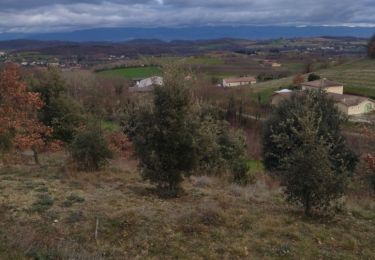
Trail Walking of 6.1 km to be discovered at Auvergne-Rhône-Alpes, Drôme, Saint-Donat-sur-l'Herbasse. This trail is proposed by bob2023.
balade sympathique. Sentier rando croquis. Intéressant à faire avec enfants. 2 possibilités de balade courte ou longue au choix. Note 6/10


Walking

sport
Walking
Walking

Walking

Walking
Walking
Walking
Walking
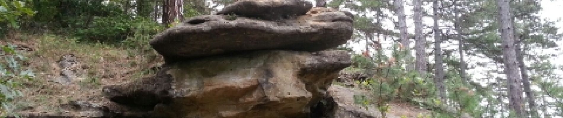
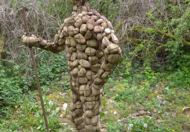
très sympa en famille, même ma petite de 5 ans à fais le tour.