


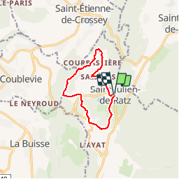

8.7 km | 16.8 km-effort

User


FREE GPS app for hiking
 SityTrail
IGN / Geographical institutes
SityTrail World
The world is yours!
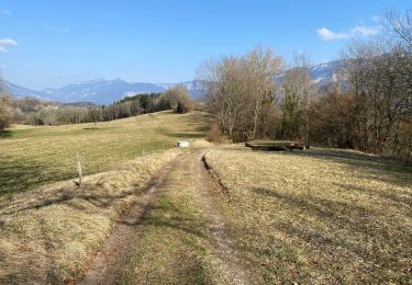
Trail Walking of 9.8 km to be discovered at Auvergne-Rhône-Alpes, Isère, La Sure en Chartreuse. This trail is proposed by choubaka77.
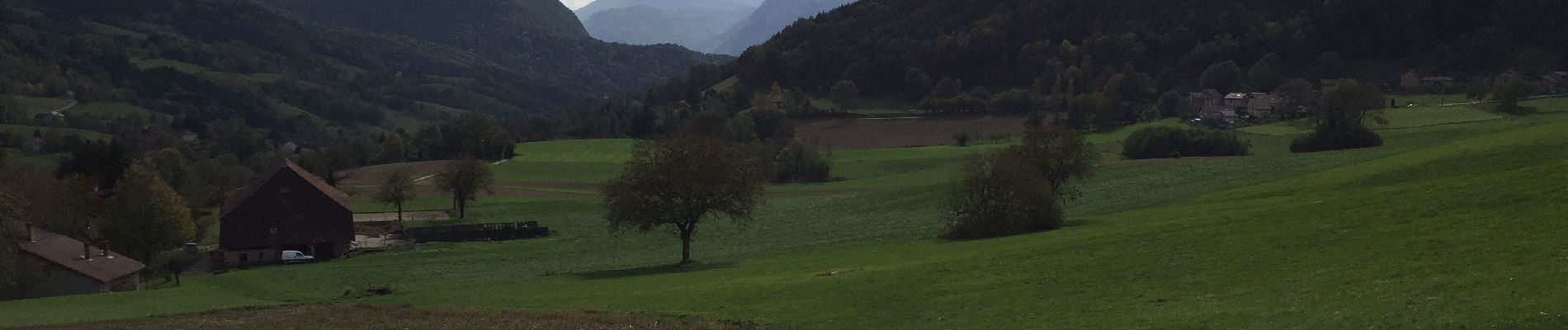
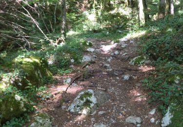
Belle balade d’automne où il faut prévoir le sac pour les châtaignes et pour les connaisseurs, les champignons !


Walking

Walking
Walking

Walking
Walking

Horseback riding
Horseback riding
Walking
On foot