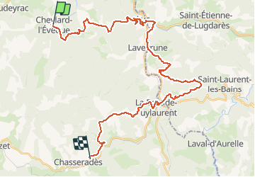
16.1 km | 22 km-effort
Le Cheylard - Chasseradès
JeanPierreNancy
User
Length
41 km
Max alt
1313 m
Uphill gradient
1155 m
Km-Effort
56 km
Min alt
961 m
Downhill gradient
1101 m
Boucle
No
Creation date :
2019-10-18 14:30:09.447
Updated on :
2019-10-18 14:31:44.237
3h37
Difficulty : Very difficult
FREE GPS app for hiking
About
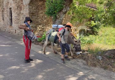
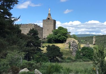
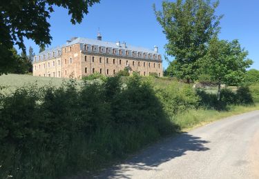
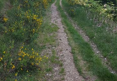
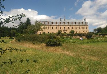
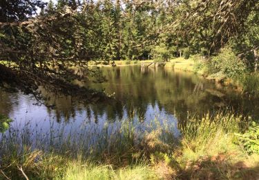
Trail Mountain bike of 41 km to be discovered at Occitania, Lozère, Cheylard-l'Évêque. This trail is proposed by JeanPierreNancy.
Positioning
Country:
France
Region :
Occitania
Department/Province :
Lozère
Municipality :
Cheylard-l'Évêque
Location:
Unknown
Start:(Dec)
Start:(UTM)
563688 ; 4944148 (31T) N.
Comments
Trails nearby
La haute vallee du Langouyrou par Cheylard_l'Eveque
Walking
Medium
Cheylard-l'Évêque,
Occitania,
Lozère,
France
22 km | 29 km-effort
7h 22min
Yes
Les hauts de cheylard /Bastide puy Laurent
Walking
Medium
Cheylard-l'Évêque,
Occitania,
Lozère,
France
24 km | 32 km-effort
6h 11min
No
La Bastide
Walking
Very difficult
Cheylard-l'Évêque,
Occitania,
Lozère,
France
26 km | 36 km-effort
7h 29min
No
Le Cheylard la Veyrune
Walking
Difficult
(1)
Cheylard-l'Évêque,
Occitania,
Lozère,
France
16.4 km | 22 km-effort
5h 49min
No
L’Herm Notre dame des neiges
Walking
Very difficult
Saint-Flour-de-Mercoire,
Occitania,
Lozère,
France
34 km | 46 km-effort
8h 51min
No
Fouzilhac- La Bastide Puylaurent Stevenson
Walking
Medium
Chaudeyrac,
Occitania,
Lozère,
France
24 km | 31 km-effort
6h 35min
No
cheylard l'eveque _ Notre Dame des Neiges _ La Bastide saint Laurent
Walking
Very easy
Cheylard-l'Évêque,
Occitania,
Lozère,
France
28 km | 37 km-effort
6h 38min
No
5ème étape Stevenson
Walking
Easy
Cheylard-l'Évêque,
Occitania,
Lozère,
France
28 km | 38 km-effort
6h 41min
No