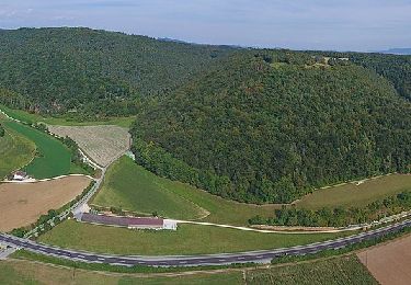
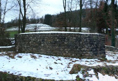
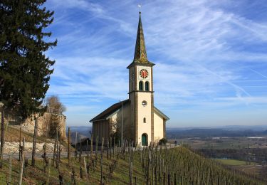
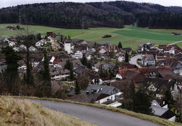
Trail Other activity Wilchingen - Osterfingen-Pilgerhag-Apolonia- Notburga - Kaiserstuhl - Photo

Osterfingen-Pilgerhag-Apolonia- Notburga - Kaiserstuhl

 hallauer
hallauer

User

© OpenStreetMap contributors
Length
Length
16 km
Max alt
Max alt
628 m
Uphill gradient
Uphill gradient
483 m
Km-Effort
Km-Effort  
23 km
Min alt
Min alt
330 m
Downhill gradient
Downhill gradient
542 m
Boucle
Boucle
No
Creation date :
2014-12-11 00:00:00.0
Updated on :
2014-12-11 00:00:00.0

(0 Reviews)

Other activity
Other activity
3h48
Difficulty : Unknown

Scan this QR Code to open this trail in the SityTrail application

FREE GPS app for hiking

Logo SityTrail SityTrail

IGN / Geographical institutes

Download SityTrail from the App Store Download SityTrail from Google Play

Logo SityTrail SityTrail World

The world is yours!

Download SityTrail from the App Store Download SityTrail from Google Play Download SityTrail on Huawei AppGallery

About

Trail Other activity of 16 km to be discovered at Schaffhausen, Bezirk Unterklettgau, Wilchingen. This trail is proposed by hallauer.

Description

Schöne Wanderung

Elevation profile

Points of interest

Point of interest Klettgau - Notburga - Photo
hallauer
KLETTGAU 
Point of interest Wilchingen - Bus Unterdorf - Photo
hallauer
WILCHINGEN 

Positioning

Country:
Switzerland
Region :
Schaffhausen
Department/Province :
Bezirk Unterklettgau
Municipality :
Wilchingen
Location:
Unknown
Start:(UTM)
461268 ; 5278848 (32T) N.

Trails nearby

Trail On foot Schleitheim - Täuferweg - Photo
On foot
GUIDE+

On foot

Easy
Schleitheim, Schaffhausen, Unknown, Switzerland
5.7 km | 8.2 km-effort
1h 51min
No
Trail On foot Baldingen - Rundweg - fixme - Photo
On foot
GUIDE+

On foot

Easy
Baldingen, Aargau, Bezirk Zurzach, Switzerland
3.4 km | 4.6 km-effort
1h 3min
No
Trail On foot Böbikon - Rundwanderweg Gemeinde Böbikon - Photo
On foot
GUIDE+

On foot

Easy
Böbikon, Aargau, Bezirk Zurzach, Switzerland
6.2 km | 8.5 km-effort
1h 56min
Yes
Trail On foot Neftenbach - Tössegg-Klettgau-Weg - Photo
On foot
GUIDE+

On foot

Medium
Neftenbach, Zurich, Bezirk Winterthur, Switzerland
18.9 km | 23 km-effort
5h 12min
No
Trail On foot Pfungen - Pfungen - Stiegen - Photo
On foot
GUIDE+

On foot

Easy
Pfungen, Zurich, Bezirk Winterthur, Switzerland
3.7 km | 6.3 km-effort
1h 25min
No
Trail On foot Oberembrach - Oberembrach - Breite - Photo
On foot
GUIDE+

On foot

Easy
Oberembrach, Zurich, Bezirk Bülach, Switzerland
6.8 km | 9.3 km-effort
2h 7min
No
Trail On foot Winterthur - Winterthur Töss - Pfungen - Photo
On foot
GUIDE+

On foot

Easy
Winterthur, Zurich, Bezirk Winterthur, Switzerland
8.3 km | 12.8 km-effort
2h 54min
No
Trail On foot Pfungen - Pfungen - Oberembrach - Photo
On foot
GUIDE+

On foot

Easy
Pfungen, Zurich, Bezirk Winterthur, Switzerland
5.5 km | 8.1 km-effort
1h 50min
No
Trail On foot Oberembrach - Oberembrach - Freienstein - Photo
On foot
GUIDE+

On foot

Easy
Oberembrach, Zurich, Bezirk Bülach, Switzerland
9.8 km | 13.3 km-effort
3h 1min
No


Close
My subscriptions