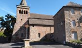

Bozoul (Matinée)

jesusmarieclaire
User

Length
1.8 km

Max alt
546 m

Uphill gradient
65 m

Km-Effort
2.6 km

Min alt
503 m

Downhill gradient
64 m
Boucle
Yes
Creation date :
2019-10-11 09:09:58.483
Updated on :
2020-05-24 16:10:40.333
55m
Difficulty : Very easy

FREE GPS app for hiking
About
Trail Walking of 1.8 km to be discovered at Occitania, Aveyron, Bozouls. This trail is proposed by jesusmarieclaire.
Description
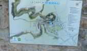
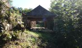
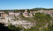
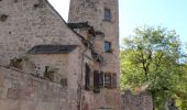
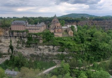
Vers 11 h : 1° balade (PR1 à l’envers) : 60 à 75 min, descendre par le sentier balisé vers les tours, le lavoir. Visite du haut de la ville, redescendre vers les tours et remonter par les escaliers à côté de l’église Sainte Fauste XIIème siècle.
Positioning
Country:
France
Region :
Occitania
Department/Province :
Aveyron
Municipality :
Bozouls
Location:
Unknown
Start:(Dec)
Start:(UTM)
477389 ; 4923873 (31T) N.
Comments
Trails nearby

Trou de Bozouls


Walking
Easy
(4)
Bozouls,
Occitania,
Aveyron,
France

14.5 km | 19.9 km-effort
4h 15min
Yes
De Bozouls à Rodelle


On foot
Easy
Bozouls,
Occitania,
Aveyron,
France

10.4 km | 13.6 km-effort
3h 4min
No
Bozoul (Après-midi)


Walking
Easy
Bozouls,
Occitania,
Aveyron,
France

4.8 km | 6.6 km-effort
2h 0min
Yes
BARRIAC / CARCUAC


On foot
Easy
Bozouls,
Occitania,
Aveyron,
France

3.9 km | 4.8 km-effort
1h 0min
Yes
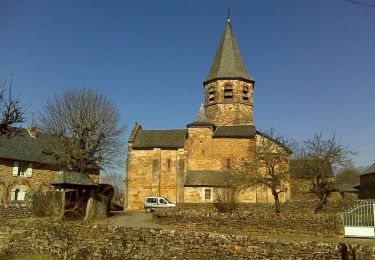
Horizons et Clochers du Rouergue - Gillorgues


Walking
Medium
Bozouls,
Occitania,
Aveyron,
France

11.9 km | 15.5 km-effort
3h 0min
Yes
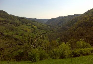
De Barriac à Rodelle


Walking
Medium
Bozouls,
Occitania,
Aveyron,
France

12.3 km | 16.5 km-effort
3h 15min
Yes
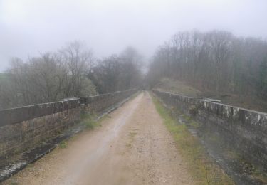
Roquelaure au départ de Bozouls


Mountain bike
Difficult
Bozouls,
Occitania,
Aveyron,
France

33 km | 43 km-effort
4h 19min
Yes
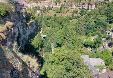
Le tour du trou de Bizoul


Walking
Medium
Bozouls,
Occitania,
Aveyron,
France

8.5 km | 11.5 km-effort
2h 46min
Yes


 SityTrail


