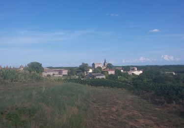
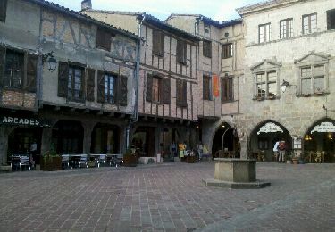
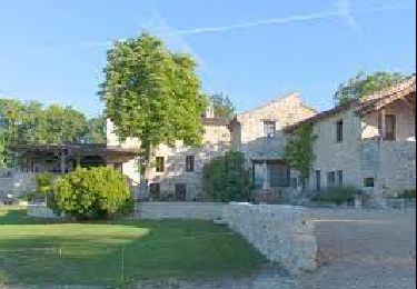
Trail Walking Itzac - Les Dunes de Maraval - Photo

Les Dunes de Maraval

© OpenStreetMap contributors
Length
Length
18 km
Max alt
Max alt
369 m
Uphill gradient
Uphill gradient
439 m
Km-Effort
Km-Effort  
24 km
Min alt
Min alt
171 m
Downhill gradient
Downhill gradient
437 m
Boucle
Boucle
Yes
Creation date :
2019-10-08 13:12:37.36
Updated on :
2019-10-08 13:13:09.079

(1 Reviews)

Walking
Walking
5h05
Difficulty : Very difficult

Scan this QR Code to open this trail in the SityTrail application

FREE GPS app for hiking

Logo SityTrail SityTrail

IGN / Geographical institutes

Download SityTrail from the App Store Download SityTrail from Google Play

Logo SityTrail SityTrail World

The world is yours!

Download SityTrail from the App Store Download SityTrail from Google Play Download SityTrail on Huawei AppGallery

About

Trail Walking of 18 km to be discovered at Occitania, Tarn, Itzac. This trail is proposed by philou6351.

Elevation profile

Points of interest

Point of interest Itzac - Parking de l'église - Photo
philou6351
Point of interest Itzac - À gauche à la route - Photo
philou6351
Point of interest Tonnac - Piste à gauche - Photo
philou6351
Point of interest Vindrac-Alayrac - Montée à droite - Photo
philou6351
VINDRAC-ALAYRAC 
Point of interest Vindrac-Alayrac - Tunnel de la voie ferrée - Photo
philou6351
VINDRAC-ALAYRAC 
Point of interest Vindrac-Alayrac - Piste à gauche - Photo
philou6351
VINDRAC-ALAYRAC 
Point of interest Labarthe-Bleys - À gauche - Photo
philou6351
LABARTHE-BLEYS 
Point of interest Labarthe-Bleys - À droite petite sente en terre - Photo
philou6351
Point of interest Labarthe-Bleys - Petite sente à droite - Photo
philou6351
LABARTHE-BLEYS 
Point of interest Labarthe-Bleys - Début des dunes  - Photo
philou6351
LABARTHE-BLEYS 
Point of interest Labarthe-Bleys - À droite à la route - Photo
philou6351
LABARTHE-BLEYS 
Point of interest Tonnac - Traversée de la D91 - Photo
philou6351
Point of interest Tonnac - En face sur la piste - Photo
philou6351
Point of interest Tonnac - Petit pont - Photo
philou6351
TONNAC 
Point of interest Itzac - À gauche devant Sigalou - Photo
philou6351
Point of interest Itzac - À gauche à la route - Photo
philou6351
Point of interest Itzac - Large piste à droite - Photo
philou6351
Point of interest Itzac - Parking de l'église - Photo
philou6351

Positioning

Country:
France
Region :
Occitania
Department/Province :
Tarn
Municipality :
Itzac
Location:
Unknown
Start:(UTM)
408585 ; 4877094 (31T) N.

Comments

Please log in to post a review or rate the element


Merci,Audier.


Trails nearby

Trail Walking Campagnac - Campagnac Saint Bauzille - Photo
Walking
tercla

Walking

Easy
Campagnac, Occitania, Tarn, France
11.5 km | 16.1 km-effort
3h 10min
Yes
Trail Walking Campagnac - Campagnac-Itzac - Photo
Walking
kl

Walking

Medium
Campagnac, Occitania, Tarn, France
12.2 km | 16.2 km-effort
3h 26min
Yes
Trail Walking Amarens - Aveyron-121010 - Amarens-Castelnau (txt,gps,foto) - Photo
Walking
randodan

Walking

Very easy
Amarens, Occitania, Tarn, France
22 km | 27 km-effort
7h 56min
No
Trail Walking Campagnac - Campagnac - Itzac - Photo
Walking
chripaci

Walking

Difficult
Campagnac, Occitania, Tarn, France
12.4 km | 16.4 km-effort
3h 43min
Yes
Trail Walking Campagnac - Campagnac - Photo
Walking
tercla

Walking

Easy
Campagnac, Occitania, Tarn, France
17.6 km | 24 km-effort
5h 51min
Yes
Trail Walking Vindrac-Alayrac - vindrac gare tonnac - Photo
Walking
christian425

Walking

Easy
Vindrac-Alayrac, Occitania, Tarn, France
6.4 km | 9.2 km-effort
1h 38min
No
Trail sport Tonnac - Maraval - Photo
sport
camares

sport

Very easy
Tonnac, Occitania, Tarn, France
9.3 km | 13 km-effort
Unknown
Yes
Trail Walking Andillac - 81_Andillac_Cayla_Loubers - Photo
Walking
jab31

Walking

Medium
Andillac, Occitania, Tarn, France
16.4 km | 19.7 km-effort
3h 59min
Yes
Trail Walking Tonnac - Tonnac /Itzac - Photo
Walking
Iahns

Walking

Very easy
Tonnac, Occitania, Tarn, France
9 km | 11.6 km-effort
2h 29min
Yes


Close
My subscriptions