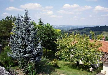
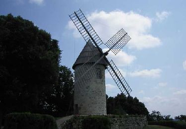
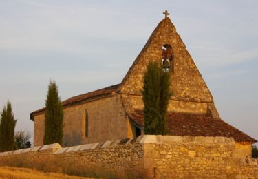
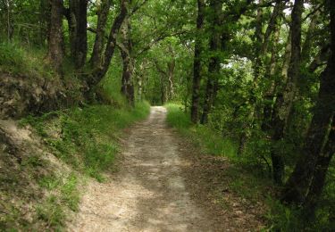
12.1 km | 15.9 km-effort
CRÊTES
gas
User
Length
9.1 km
Max alt
179 m
Uphill gradient
227 m
Km-Effort
12.1 km
Min alt
73 m
Downhill gradient
225 m
Boucle
Yes
Creation date :
2019-10-06 08:27:44.0
Updated on :
2019-10-06 09:38:56.206
1h12
Difficulty : Difficult
FREE GPS app for hiking
About
Trail Running of 9.1 km to be discovered at New Aquitaine, Lot-et-Garonne, Montpezat. This trail is proposed by gas.
Positioning
Country:
France
Region :
New Aquitaine
Department/Province :
Lot-et-Garonne
Municipality :
Montpezat
Location:
Unknown
Start:(Dec)
Start:(UTM)
304714 ; 4911515 (31T) N.
Comments
Trails nearby
Prayssas, le circuit des pigeonniers - Pays de la vallée du Lot
Walking
Medium
(3)
Prayssas,
New Aquitaine,
Lot-et-Garonne,
France
2h 30min
Yes
Montpezat-d'Agenais, par St-Médard et Saint-Jean-de-la-Balerme - Pays de la v...
Walking
Medium
(1)
Montpezat,
New Aquitaine,
Lot-et-Garonne,
France
10.7 km | 14.8 km-effort
3h 0min
Yes
Montpezat-d'Agenais, le circuit du moulin à vent - Pays de la vallée du Lot
Walking
Medium
(2)
Montpezat,
New Aquitaine,
Lot-et-Garonne,
France
10.5 km | 14.1 km-effort
2h 45min
Yes
De Laugnac à Cours, un long circuit dans les Serres - Pays de la vallée du Lot
Walking
Difficult
(2)
Laugnac,
New Aquitaine,
Lot-et-Garonne,
France
21 km | 28 km-effort
5h 15min
Yes
Prayssas, tourisme au pays du chasselas - 9km
On foot
Easy
Prayssas,
New Aquitaine,
Lot-et-Garonne,
France
9 km | 12.3 km-effort
2h 48min
No
Lac de Néguenou à Montpezat
Mountain bike
Very difficult
Prayssas,
New Aquitaine,
Lot-et-Garonne,
France
43 km | 54 km-effort
4h 0min
Yes
Dolmayrac / Laugnac, une grande randonnée dans les Serres
Mountain bike
Difficult
Dolmayrac,
New Aquitaine,
Lot-et-Garonne,
France
27 km | 35 km-effort
3h 34min
Yes
Dolmayrac / Laugnac, une grande randonnée dans les Serres
Walking
Difficult
Dolmayrac,
New Aquitaine,
Lot-et-Garonne,
France
27 km | 35 km-effort
7h 15min
Yes
Parcours de Prayssas
Mountain bike
Very difficult
Prayssas,
New Aquitaine,
Lot-et-Garonne,
France
59 km | 77 km-effort
4h 30min
Yes