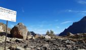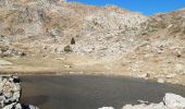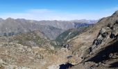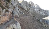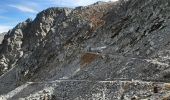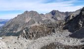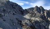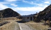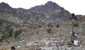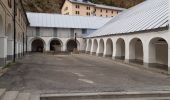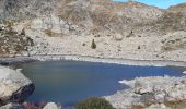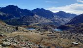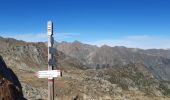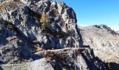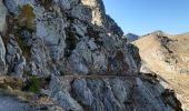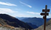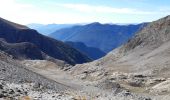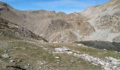

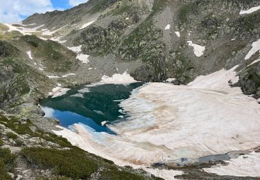
les lacs de lausfer

GILOU440
User

Length
13.1 km

Max alt
2473 m

Uphill gradient
673 m

Km-Effort
22 km

Min alt
1998 m

Downhill gradient
696 m
Boucle
Yes
Creation date :
2019-10-04 07:19:37.029
Updated on :
2019-10-04 17:59:08.722
5h33
Difficulty : Easy

FREE GPS app for hiking
About
Trail Walking of 13.1 km to be discovered at Piemont, Cuneo, Vinadio. This trail is proposed by GILOU440.
Description
départ du sanctuaire de saint anne et de vinadio.
la durée est moindre car nous avons beaucoup flâner.
rando donnée pour 3h30
Positioning
Country:
Italy
Region :
Piemont
Department/Province :
Cuneo
Municipality :
Vinadio
Location:
Unknown
Start:(Dec)
Start:(UTM)
348739 ; 4899099 (32T) N.
Comments
Trails nearby
Châtaigneraie ISOLA


Walking
Very easy
(1)
Isola,
Provence-Alpes-Côte d'Azur,
Maritime Alps,
France

4.4 km | 7.1 km-effort
2h 9min
Yes
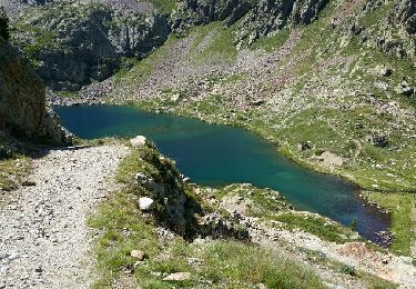
Isola 2000 baisse Druos refuge Quesa


Other activity
Very easy
(1)
Isola,
Provence-Alpes-Côte d'Azur,
Maritime Alps,
France

21 km | 35 km-effort
8h 5min
Yes
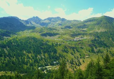
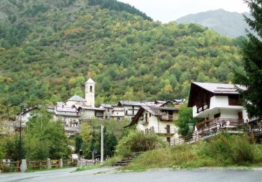
(SI E13) Sant'Anna di Vinadio - Vinadio Frazione Strepeis


On foot
Easy
Vinadio,
Piemont,
Cuneo,
Italy

9.1 km | 16.1 km-effort
3h 40min
No
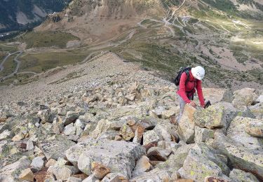
Cime de la Lombarde 2800m 26.8.24


Walking
Very difficult
Vinadio,
Piemont,
Cuneo,
Italy

3.4 km | 9.1 km-effort
2h 30min
Yes

Tour du Lausfer 25.8.24


Walking
Medium
Vinadio,
Piemont,
Cuneo,
Italy

9 km | 16.2 km-effort
3h 30min
Yes
Fontaine St Laurent par Collet de Léchio et Cascade de Louch Isola Village


Walking
Easy
Isola,
Provence-Alpes-Côte d'Azur,
Maritime Alps,
France

9.5 km | 16.3 km-effort
4h 44min
Yes

Cime de Tavels


Snowshoes
Very difficult
Isola,
Provence-Alpes-Côte d'Azur,
Maritime Alps,
France

8 km | 17.8 km-effort
6h 42min
Yes


 SityTrail


