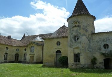
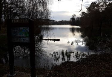
9.7 km | 11.9 km-effort
jour 26 CAP jeanot
jeannat
User
Length
29 km
Max alt
95 m
Uphill gradient
353 m
Km-Effort
34 km
Min alt
3 m
Downhill gradient
394 m
Boucle
No
Creation date :
2019-10-04 11:29:37.726
Updated on :
2019-10-04 16:44:09.609
5h13
Difficulty : Very easy
FREE GPS app for hiking
About
Trail Walking of 29 km to be discovered at New Aquitaine, Dordogne, Montpeyroux. This trail is proposed by jeannat.
Description
de Montpeyroux à St Jean de Blaignac
Positioning
Country:
France
Region :
New Aquitaine
Department/Province :
Dordogne
Municipality :
Montpeyroux
Location:
Unknown
Start:(Dec)
Start:(UTM)
270349 ; 4977814 (31T) N.
Comments
Trails nearby
Lac de Gurson - Carsac de Gurson
Walking
Easy
Carsac-de-Gurson,
New Aquitaine,
Dordogne,
France
2h 30min
Yes
2022-04-11_18h59m10_Cirkwi-Boucle_de_Saint-Cloud_-_Montpeyroux
sport
Very easy
Montpeyroux,
New Aquitaine,
Dordogne,
France
10.2 km | 12.1 km-effort
Unknown
Yes
randonnée Lacustre lac de Gurson
Walking
Very easy
Carsac-de-Gurson,
New Aquitaine,
Dordogne,
France
2.1 km | 2.5 km-effort
34min
Yes
villefranche
Running
Easy
Carsac-de-Gurson,
New Aquitaine,
Dordogne,
France
22 km | 25 km-effort
2h 13min
No
montazeau
Walking
Difficult
Montazeau,
New Aquitaine,
Dordogne,
France
10.6 km | 12.8 km-effort
2h 24min
Yes
Cirkwi-Boucle_de_Saint-Cloud_-_Montpeyroux
sport
Very easy
Montpeyroux,
New Aquitaine,
Dordogne,
France
10.2 km | 12.1 km-effort
Unknown
Yes
carsac
Walking
Very easy
Carsac-de-Gurson,
New Aquitaine,
Dordogne,
France
9.3 km | 11.2 km-effort
Unknown
Yes
jour 26
Hybrid bike
Very easy
Montpeyroux,
New Aquitaine,
Dordogne,
France
45 km | 51 km-effort
2h 50min
No
montdesir-matecoulon-gurson
Walking
Easy
Villefranche-de-Lonchat,
New Aquitaine,
Dordogne,
France
11.6 km | 13.9 km-effort
3h 2min
Yes