


9.1 km | 18.6 km-effort


User


FREE GPS app for hiking
 SityTrail
IGN / Geographical institutes
SityTrail World
The world is yours!
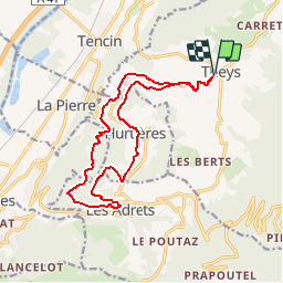
Trail Mountain bike of 15.7 km to be discovered at Auvergne-Rhône-Alpes, Isère, Theys. This trail is proposed by gilder89.
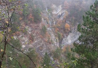
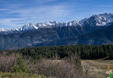
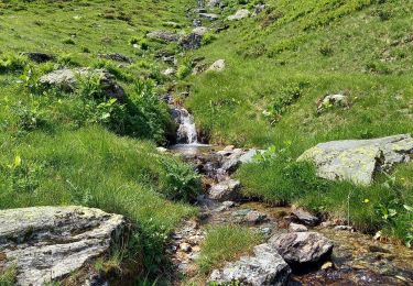
Randonnée VTT au départ de Theys direction les Adrets. Début et fin sur route mais entre temps de nombreux sentie agréables et de beaux points de vue.
Walking
Walking
Walking
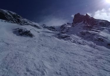
Touring skiing
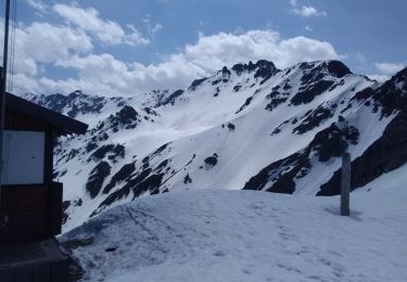
Touring skiing
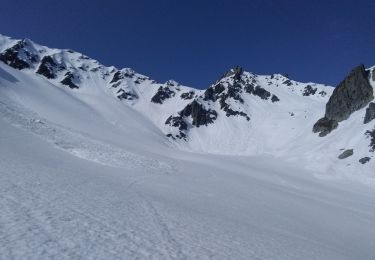
Touring skiing

Winter sports
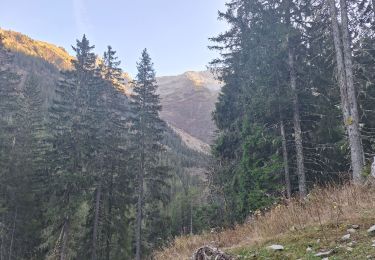
Walking

Walking