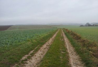
10.9 km | 13.1 km-effort
Villers-Venables_13Km
douneto
User
Length
11.9 km
Max alt
131 m
Uphill gradient
227 m
Km-Effort
14.9 km
Min alt
6 m
Downhill gradient
230 m
Boucle
Yes
Creation date :
2019-04-30 14:33:17.769
Updated on :
2019-04-30 14:33:17.955
3h10
Difficulty : Medium
FREE GPS app for hiking
About
Trail Walking of 11.9 km to be discovered at Normandy, Eure, Villers-sur-le-Roule. This trail is proposed by douneto.
Description
Départ du parking Le Montier
Aire pour manger avec vue
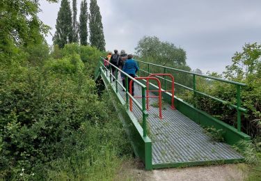
Points of interest
Positioning
Country:
France
Region :
Normandy
Department/Province :
Eure
Municipality :
Villers-sur-le-Roule
Location:
Unknown
Start:(Dec)
Start:(UTM)
377203 ; 5450362 (31U) N.
Comments
Trails nearby
Gaillon-StAubin-Brillehaut
Walking
Medium
Gaillon,
Normandy,
Eure,
France
11.3 km | 14.7 km-effort
3h 9min
Yes
Ailly-AtraversPlateauMadrie_14Km
Walking
Easy
Ailly,
Normandy,
Eure,
France
14.1 km | 16 km-effort
3h 30min
Yes
La Mare sous Venables
Walking
Easy
Les Trois Lacs,
Normandy,
Eure,
France
8.5 km | 9.6 km-effort
2h 5min
No
chapelle de Bethléem
Walking
Easy
Le Val d'Hazey,
Normandy,
Eure,
France
2.7 km | 3.9 km-effort
1h 40min
Yes
Venables coteaux
Walking
Medium
Les Trois Lacs,
Normandy,
Eure,
France
10.5 km | 13.5 km-effort
2h 57min
No