Trail Mountain bike Curnier - Sortie à vélo matinale - Photo

Sortie à vélo matinale

 marcol
marcol

User

© OpenStreetMap contributors
Length
Length
31 km
Max alt
Max alt
1278 m
Uphill gradient
Uphill gradient
1089 m
Km-Effort
Km-Effort  
46 km
Min alt
Min alt
325 m
Downhill gradient
Downhill gradient
1102 m
Boucle
Boucle
No
Creation date :
2019-09-30 14:10:23.723
Updated on :
2019-09-30 14:36:49.279

(0 Reviews)

Mountain bike
Mountain bike
2h55
Difficulty : Very difficult

Scan this QR Code to open this trail in the SityTrail application

FREE GPS app for hiking

Logo SityTrail SityTrail

IGN / Geographical institutes

Download SityTrail from the App Store Download SityTrail from Google Play

Logo SityTrail SityTrail World

The world is yours!

Download SityTrail from the App Store Download SityTrail from Google Play Download SityTrail on Huawei AppGallery

About

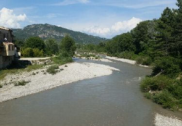
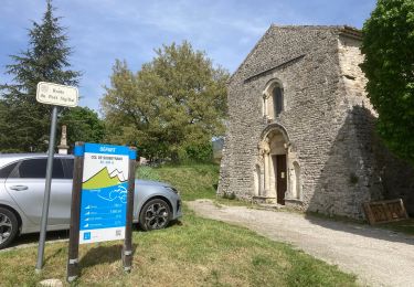
Trail Mountain bike of 31 km to be discovered at Auvergne-Rhône-Alpes, Drôme, Curnier. This trail is proposed by marcol.

Description

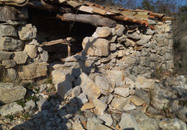
descente assez violente et engagé du col d'Ambonne jusqu'au Poet et second single largement plus abordable qui fini à St Jalles

Elevation profile

Positioning

Country:
France
Region :
Auvergne-Rhône-Alpes
Department/Province :
Drôme
Municipality :
Curnier
Location:
Unknown
Start:(UTM)
678675 ; 4916931 (31T) N.

Trails nearby

Trail Walking Les Pilles - NYONS (Monts d'Autuche) - Photo
Walking
GerardBouche

Walking

Medium
(1)
Les Pilles, Auvergne-Rhône-Alpes, Drôme, France
9.1 km | 17.9 km-effort
3h 35min
Yes
Trail Walking Sahune - Le Rocher du Bramard - Sahune - Photo
Walking
tracegps

Walking

Medium
(2)
Sahune, Auvergne-Rhône-Alpes, Drôme, France
11.2 km | 19.6 km-effort
5h 0min
Yes
Trail Walking Sahune - 26 sahune - Photo
Walking
GUIDE
randodyssée

Walking

Medium
Sahune, Auvergne-Rhône-Alpes, Drôme, France
19.5 km | 33 km-effort
7h 20min
No
Trail Walking Sahune - rocher de Bramard - Photo
Walking
GUIDE
nadinebondoux

Walking

Medium
Sahune, Auvergne-Rhône-Alpes, Drôme, France
12.4 km | 21 km-effort
4h 35min
Yes
Trail Walking Eyroles - Eyroles - Photo
Walking
gilchan

Walking

Medium
(2)
Eyroles, Auvergne-Rhône-Alpes, Drôme, France
11 km | 17.7 km-effort
3h 42min
Yes
Trail Walking Sahune - Sahune - Photo
Walking
tracegps

Walking

Medium
(2)
Sahune, Auvergne-Rhône-Alpes, Drôme, France
7.1 km | 12.5 km-effort
2h 30min
Yes
Trail Road bike Sainte-Jalle - Col d’Ey depuis Sainte Jalle via Rochebrune  - Photo
Road bike
Pierre Jongen

Road bike

Medium
Sainte-Jalle, Auvergne-Rhône-Alpes, Drôme, France
18.8 km | 24 km-effort
1h 55min
Yes
Trail Walking Condorcet - Condorcet petite boucle par le château  - Photo
Walking
aitkhedache

Walking

Easy
Condorcet, Auvergne-Rhône-Alpes, Drôme, France
7.6 km | 10.6 km-effort
3h 17min
Yes
Trail Walking Arpavon - BruBer-Arpavon : ND Consolation - Photo
Walking
Bruno Berlemont

Walking

Medium
Arpavon, Auvergne-Rhône-Alpes, Drôme, France
5.5 km | 8.2 km-effort
1h 30min
Yes


Close
My subscriptions